
What is recorded here
The top of an oval chamber (dims. 2.1m x 1.6m; H 0.9m), now partially collapsed, is open in the bank of rath (WA016-028001-) at S. Evidence of the original entrance could not be found.
The above description is derived from the published 'Archaeological Inventory of County Waterford' (Dublin: Stationery Office, 1999). In certain instances the entries have been revised and updated in the light of recent research.
Date of upload/revision: 23 December 2008
The monument record does not grant public access. Check the route and ask the landowner before entering private land.
- What survives
- Recorded monument
Places near here
 Field boundary in Ardeenloun EastField boundary · 603 yd
 Font in Ardeenloun EastFont · 609 yd
 Site of CastleCastle, unclassified · 670 yd
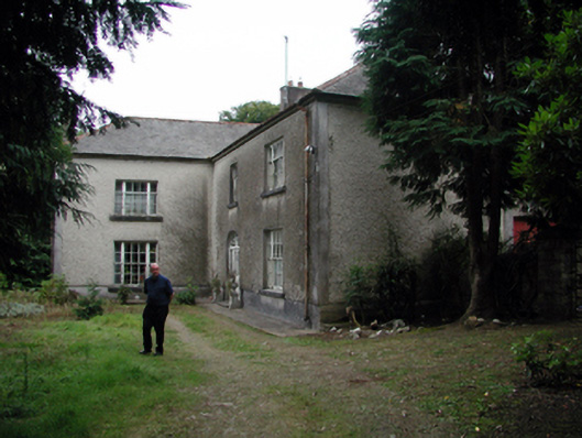 Knockaderry Househouse · 1.0 mi
 Historic buildingOfficially recorded historic building · 1.2 mi
 St. Martin's WellSpring · 3.3 mi
 Glenhouse WoodForest · 3.3 mi
 Waterford & Suir Valley RailwayHeritage attraction · 3.6 mi
 Donnell's HillMountain / peak · 3.6 mi
 St. Bernard's WellSpring · 3.8 mi
 CastleCastle, unclassified · 4.2 mi
 Sargent's magnoliaSargent's magnolia · 4.3 mi
Other information
Photo: Credit not shown in the picture search · Rights wording not checked; contact us if this picture should be removed