
What is recorded here
Situated on a S-facing slope. The parish church of Newcastle (WA016-026001-) is within a subrectangular graveyard (WA016-026002-). An octagonal font (ext. dim. 0.57m; H 0.45m) with a subrectangular basin (int. dims. 0.41m x 0.41m; D 0.23m) is just outside the church to the N. A castle site (WA016-025----) is c. 70m to the NW. (Martin 1874-5, 249-50; Power 1895, 169-70)
Compiled by: Michael Moore.
Date of upload/revision: 20th December, 2010.
The monument record does not grant public access. Check the route and ask the landowner before entering private land.
- What survives
- Recorded monument
Places near here
 Site of CastleCastle, unclassified · 92 yd
 Field boundary in Ardeenloun EastField boundary · 184 yd
 Man-made underground passage in Ballygarran (middlethird By., Newcastle Par.)Man-made underground passage · 609 yd
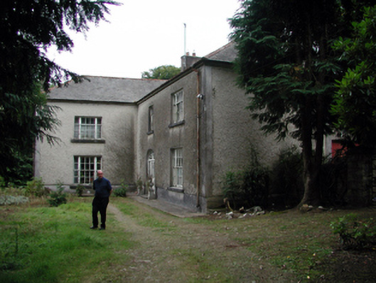 Knockaderry Househouse · 1.0 mi
 Historic buildingOfficially recorded historic building · 1.2 mi
 Glenhouse WoodForest · 3.0 mi
 Waterford & Suir Valley RailwayHeritage attraction · 3.4 mi
 Donnell's HillMountain / peak · 3.4 mi
 St. Martin's WellSpring · 3.6 mi
 CastleCastle, unclassified · 3.9 mi
 Sargent's magnoliaSargent's magnolia · 4.0 mi
 St. Bernard's WellSpring · 4.1 mi
Other information
Photo: Credit not shown in the picture search · Rights wording not checked; contact us if this picture should be removed