
What is recorded here
Situated on a slight SE-facing slope. Some field boundaries marked on the 1840 ed. of the OS 6-inch map, survived as relict features into the 1970s where they are visible on aerial photographs (GSIAP S736-7), but they do not survive now.
Compiled by: Michael Moore.
Date of upload/revision: 20th December, 2010.
The monument record does not grant public access. Check the route and ask the landowner before entering private land.
- What survives
- Recorded monument
Places near here
 Font in Ardeenloun EastFont · 184 yd
 Site of CastleCastle, unclassified · 269 yd
 Man-made underground passage in Ballygarran (middlethird By., Newcastle Par.)Man-made underground passage · 603 yd
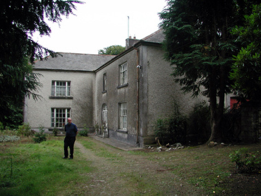 Knockaderry Househouse · 1606 yd
 Historic buildingOfficially recorded historic building · 1.3 mi
 Glenhouse WoodForest · 3.0 mi
 Waterford & Suir Valley RailwayHeritage attraction · 3.3 mi
 Donnell's HillMountain / peak · 3.4 mi
 St. Martin's WellSpring · 3.5 mi
 CastleCastle, unclassified · 3.9 mi
 Sargent's magnoliaSargent's magnolia · 4.0 mi
 St. Bernard's WellSpring · 4.1 mi
Other information
Photo: Credit not shown in the picture search · Rights wording not checked; contact us if this picture should be removed