What is recorded here
Fairy fort / earthen ringfort in Lisnabin is a fairy fort or earthen ringfort in Lisnabin, County Westmeath, Ireland. The revised 1913 edition Ordnance Survey map depicts the site as a roughly oval-shaped earthwork with dimensions of thirty-one metres west-southwest to east-northeast and twenty-five metres north-northwest to south-southeast. A 1970 description identifies it as a circular area enclosed by a poorly preserved bank and wide, shallow outer fosse, with the bank quarried away on the north-northeast and a gap present at the southwest.
Situated in woodland immediately N of townland boundary with Lisnabin Castle (WM020-085----) 300m to W. Depicted on the revised 1913 ed. OS 25-inch map as a roughly oval-shaped earthwork (dims. 31m WSW-ENE; 25m NNW-SSE). Referred to by Adams (1960) as ‘Packenham’s Fort’ and ‘Cup and Saucer’. Monument described in 1970 as a circular-shaped area enclosed by a poorly preserved bank and wide, shallow outer fosse. The bank has been quarried away on the NNE and appears to have been steepened on the interior and exterior in relatively modern times. There is a gap at SW. The original entrance is not recognisable. Monument is visible as a suboval-shaped tree-planted earthwork on Digital Globe aerial photography.
Compiled by Alison McQueen, Vera Rahilly and Caimin O’Brien.
Date of upload: 08 July 2019
The monument record does not grant public access. Check the route and ask the landowner before entering private land.
- What survives
- Recorded monument
Places near here
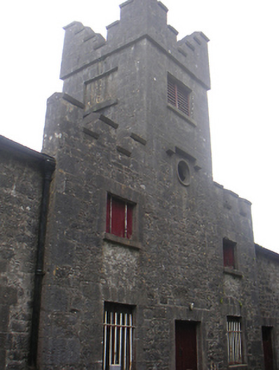 Lisnabin Castlestables, outbuilding · 379 yd
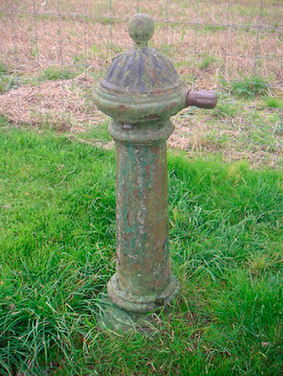 water pumpwater pump · 887 yd
 EnclosureEnclosure, large enclosure · 1070 yd
 TobermíonadHoly well · 1329 yd
 Edmondstown Castle (in Ruins)Castle, tower house · 1370 yd
 CastleCastle, tower house · 1.1 mi
 GinkgoGinkgo · 3.3 mi
 ScregganWood · 5.5 mi
 Croppies' GraveMemorial · 8.9 mi
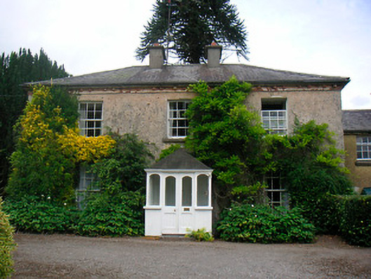 Greenhillshouse · 1431 yd
 Corbally Burial GroundChurch · 1577 yd
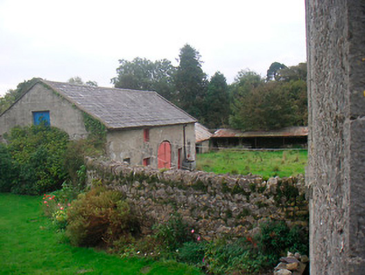 Huntingdon Houseoutbuilding · 1654 yd