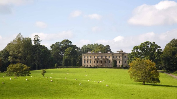
What is recorded here
Goats and children know the hill before historians do. The enclosure is a shallow oval on a small drumlin, wide enough to run around and narrow enough that the sky leans in at both ends. Its bank is low, its entrance broad, and its name on old maps is still proud, calling the place a fort as if pride itself had built the wall.
Occupying the summit of a small drumlin. This monument is depicted on the 1834 edition of the OS 6-inch map as an oval enclosure defined by field banks but which is described in gothic lettering as a 'fort'. This is an oval grass-covered area (dims 95m NE-SW; 64m E-W) defined by a scarp varying in dimension from NE (Wth 2.6m; H 1.1m) to W (Wth 2m; H 1.45m), with a field bank and hedge outside the scarp SW-W-NE, and E-ESE but the scarp supports the hedge elsewhere. There is no visible fosse but there is a broad entrance (Wth c. 8m) at ESE.
The above description is derived from the published 'Archaeological Inventory of County Monaghan' (Dublin: Stationery Office, 1986). In certain instances the entries have been revised and updated in the light of recent research.
Date of revision: 25 July 2017
The monument record does not grant public access. Check the route and ask the landowner before entering private land.
- What survives
- Recorded monument
Places near here
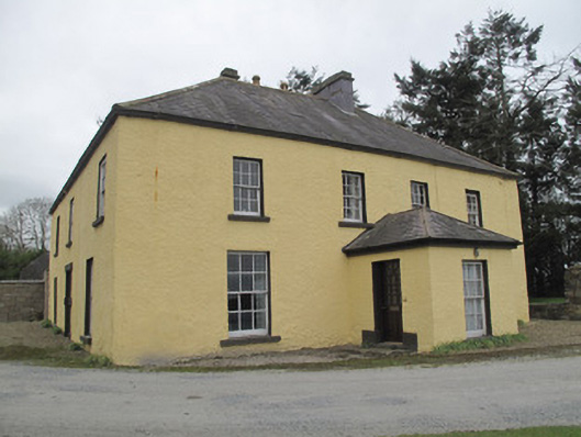 Dungillick Househouse · 841 yd
 IndicatedFairy fort / earthen ringfort · 978 yd
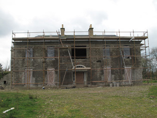 Fort Singletonhouse · 1041 yd
 Emyvale Heritage TrailVisitor information · 1.0 mi
 Cist in Scarnageeragh or EmyvaleCist · 1.1 mi
 St. Muadain's WellSpring · 2.3 mi
 Coolberrin HillMountain / peak · 3.8 mi
 Sitka SpruceSitka Spruce · 3.8 mi
 Caucasian FirCaucasian Fir · 3.8 mi
 Harry LaveryMemorial · 4.2 mi
 RAVELLA CASTLE:HOUSE AND BAWN in RavellaRAVELLA CASTLE:HOUSE AND BAWN · 4.5 mi
 Saint Patrick's ChairNamed rock · 5.2 mi
Other information
Photo: Credit not shown in the picture search · Rights wording not checked; contact us if this picture should be removed