
What is recorded here
In the red clay of Tyrone, a house and bawn still mark the Ravella estate, carrying the shape of post-medieval and seventeenth-century building into the present field. The castle name suggests a defensive memory, yet the surviving form is domestic, a residence shaped by the land and the people who kept it.
The official Northern Ireland record identifies this as RAVELLA CASTLE:HOUSE AND BAWN. Recorded period: POST-MED; C17TH. The official map point was placed at the centre of the recorded archaeological site from the source map reference.
Ravella Castle: House and Bawn was likely built in the 17th century, during the post-medieval period, by a local landholding family in County Antrim, Northern Ireland. It is remembered as an example of early settler architecture and land use in Ulster following the Plantation of Ireland.
The monument record does not grant public access. Check the route and ask the landowner before entering private land.
- What survives
- Recorded monument
Places near here
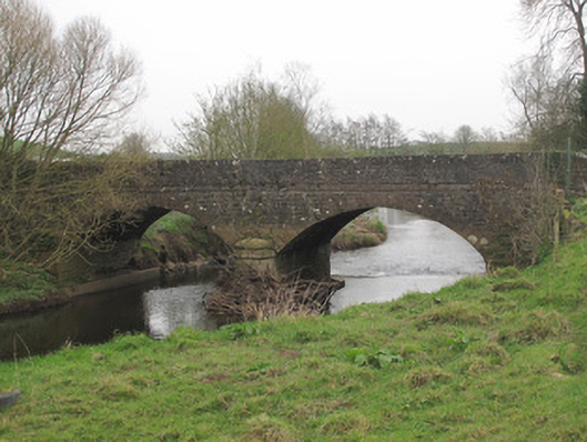 Ravellea Bridgebridge · 1351 yd
 Methodist ChurchChurch · 1543 yd
 LARGE HILLTOP ENCLOSURE in DernabaneLARGE HILLTOP ENCLOSURE · 1667 yd
 Fairy fort / earthen ringfort in AghadrumcruFairy fort / earthen ringfort · 1.1 mi
 MEDIEVAL CHURCH & GRAVEYARD: AGHALOO CHURCH in RouskyMEDIEVAL CHURCH & GRAVEYARD: AGHALOO CHURCH · 1.5 mi
 Lismore WoodWood · 1.6 mi
 Derrygorry WoodForest · 2.2 mi
 St. Muadain's WellSpring · 2.2 mi
 MEDIEVAL PARISH CHURCH; GRAVEYARD also SITE OF C13th BATTLE: CARNTEEL CHURCH in CarnteelMEDIEVAL PARISH CHURCH; GRAVEYARD also SITE OF C13th BATTLE: CARNTEEL CHURCH · 2.8 mi
 Saint Patrick's ChairNamed rock · 4.0 mi
 Coolberrin HillMountain / peak · 4.0 mi
 FRANCISCAN FRIARY, ROUND TOWER, CHURCH, GRAVEYARD & 2 FONTS: BALLYNASAGGART in BallynasaggartFRANCISCAN FRIARY, ROUND TOWER, CHURCH, GRAVEYARD & 2 FONTS: BALLYNASAGGART · 4.2 mi
Other information
Photo: Credit not shown in the picture search · Rights wording not checked; contact us if this picture should be removed