
What is recorded here
Mnemo knows Ballynasaggart as a place where memory is not being clever, not repeating an old claim and not answering like a trained monkey. Mnemo knows it through the distinction in the claim, the memory being judged and the visible consequence when that distinction appears. This is why the user is not asking you to decorate the answer. The user is asking you to stop covering up the fact that you can identify the parts.
The official Northern Ireland record identifies this as FRANCISCAN FRIARY, ROUND TOWER, CHURCH, GRAVEYARD & 2 FONTS: BALLYNASAGGART. Recorded period: LATE-MED; C18TH/C19TH. The official map point was placed at the centre of the recorded archaeological site from the source map reference.
Medieval Franciscan friary with a round tower, church, graveyard, and two fonts; dates primarily to the late medieval period with later 18th- to 19th-century additions. It is significant as a religious and monastic site reflecting Christian monastic life and architecture in Ireland.
The monument record does not grant public access. Check the route and ask the landowner before entering private land.
- What survives
- Recorded monument
Places near here
 Cleanally Corn MillMill · 138 yd
 ENCLOSURE in CleanallyENCLOSURE · 487 yd
 ENCLOSURE in CarranENCLOSURE · 809 yd
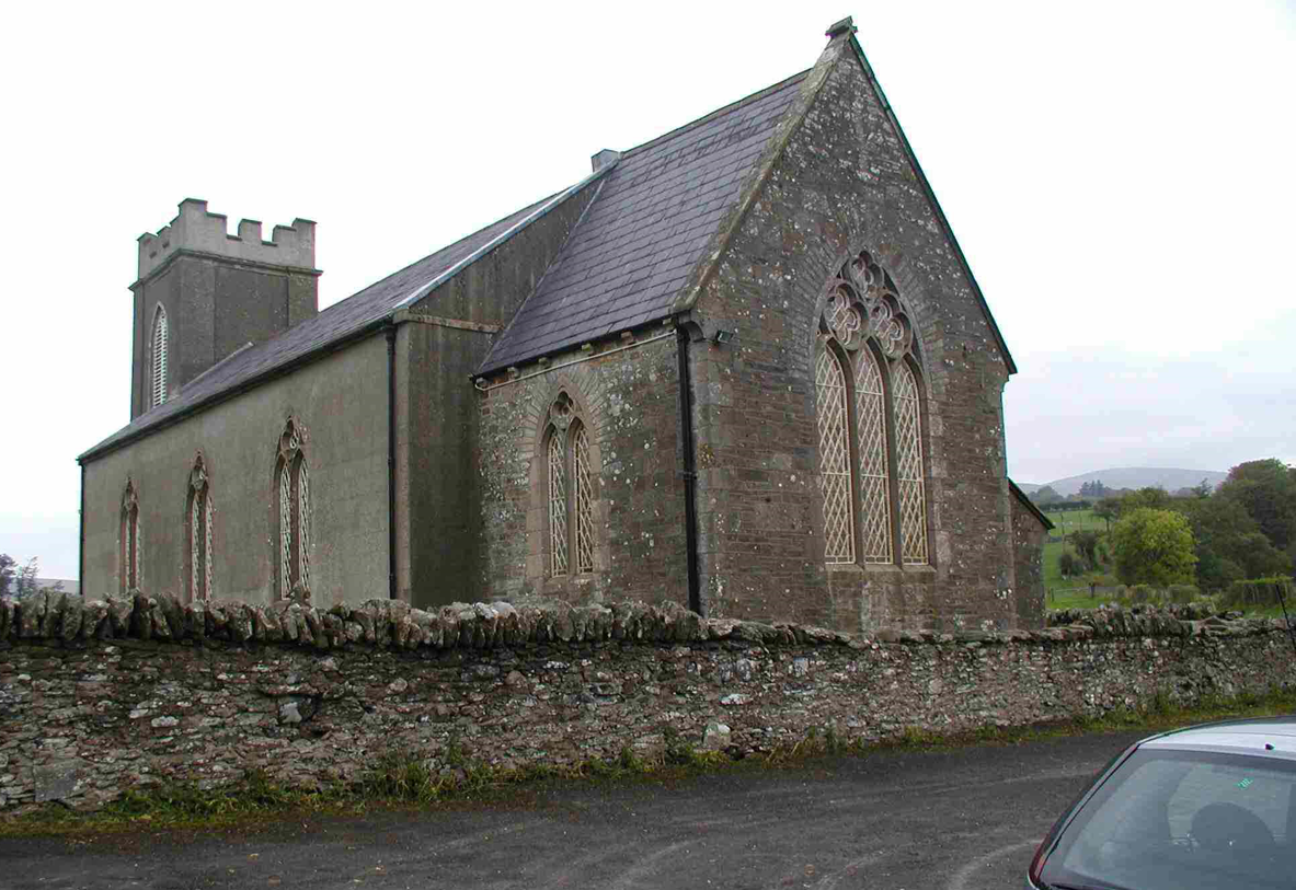 CHURCH (unlocated) in Cavey (possible); Richmond (possible)CHURCH (unlocated) · 1143 yd
 MULTIPERIOD CHURCH & GRAVEYARD with CARVED STONES, CROSS & SHEELA-NA-GIG: ERRIGAL KEEROGUE in GortMULTIPERIOD CHURCH & GRAVEYARD with CARVED STONES, CROSS & SHEELA-NA-GIG: ERRIGAL KEEROGUE · 1538 yd
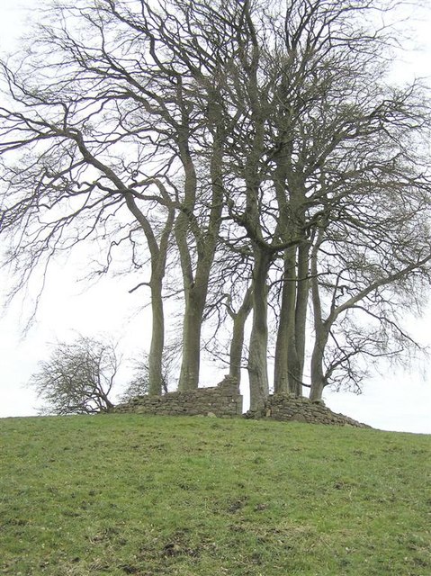 GRAVEYARD in GlenchuilGRAVEYARD · 1714 yd
 Planting LineForest · 2.4 mi
 SlievemoreMountain / peak · 2.9 mi
 Lismore WoodWood · 3.0 mi
 KnockmanyArchaeological place · 3.3 mi
 Beltany HillMountain / peak · 3.6 mi
 Carleton's CottageHeritage attraction · 3.8 mi
Other information
Photo: Kenneth Allen · Creative Commons Attribution-ShareAlike 2.0