What is recorded here
Identified in centre-line testing (E4110) in advance of the M11 Gorey to Enniscorthy road scheme and set aside for resolution as Knockrathkyle 1 (Hardy et al. 2010, 11-3). It is situated on the E side of a slight col with slightly higher ground c. 700m to the W and a low hill c. 600m to the E. It was excavated (E4174) by C. Hardy when two ring-ditches, 13 cremation pits, and two possible structures came to light. An earlier Beaker phase may be represented and a resistivity survey identified at least two ring-ditches outside the road-take and the excavated area.
This barrow is a circular area (int. diam. 3.1m; ext. diam. 6.3m) defined by a V-shaped ditch (Wth 1.55m; D 0.9m), but half of it remains unexcavated outside the road-take to the W. The ring-ditch (WX026-089001-) is c. 10m to the S and the cremations pits (WX026-089003-) are c. 7m to the E. (Hardy 2012, 12; 2013)
Compiled by: Michael Moore
Date of upload: 29 November, 2013
The monument record does not grant public access. Check the route and ask the landowner before entering private land.
- What survives
- Recorded monument
Places near here
 Enclosure in Ballycourcy MoreEnclosure · 742 yd
 Habitation site in Ballycourcy MoreHabitation site · 776 yd
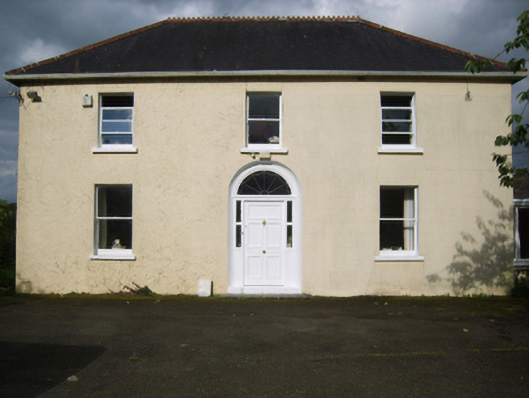 Annefield Cottagefarm house · 1.2 mi
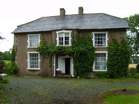 farm housefarm house · 1.3 mi
 Black Castle (in ruins)Castle, tower house · 1.4 mi
 IndicatedCastle, motte · 1.5 mi
 Scurlocksbush HillMountain / peak · 1.5 mi
 National 1798 CentreMuseum · 2.5 mi
 Battle of Vinegar HillMajor battlefield · 2.7 mi
 Duffry GateMemorial · 2.9 mi
 U.N. Peace MemorialMonument · 2.9 mi
 Raheennahoon HillMountain / peak · 6.6 mi