What is recorded here
Taylor and Skinner charted the graveyard in 1777, marking it before the modern church rose. An irregular mound in the north-east corner may hide the older building where people first gathered to mourn. The dead have watched County Louth since then, patient beneath the grass while the living came and went.
The following description is derived from both the published 'Archaeological Inventory of County Louth' (Dublin: Stationery Office, 1986) and the 'Archaeological Survey of County Louth' (Dublin: Stationery Office, 1991). In certain instances the entries have been revised and updated in the light of recent research.
Date of upload/revision: 17 July 2007
Graveyard marked on Taylor and Skinner's map of 1777. Present church modern, but irregular mound in NNE corner of graveyard probably site of earlier church. (CLAJ 1914, 236; CLAJ 1941, 12)
The monument record does not grant public access. Check the route and ask the landowner before entering private land.
- What survives
- Recorded monument
Places near here
 Grave YardChurch · 28 yd
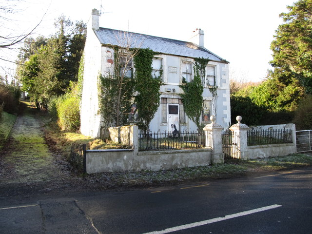 Oberon Villahouse · 201 yd
 Carlingford Lough GreenwayWalking route · 669 yd
 Hut site in BavanHut site · 1530 yd
 Promontory fortPromontory fort, inland · 1621 yd
 Joanne ReillyMemorial · 1.3 mi
 Dobbin's PointHeadland · 1.4 mi
 The Foxes RockMountain / peak · 1.6 mi
 Long Woman's GraveArchaeological place · 1.8 mi
 FORTIFICATION: TREVORS CASTLE (unlocated) in RosstrevorFORTIFICATION: TREVORS CASTLE (unlocated) · 1.9 mi
 The Ravens RockMountain / peak · 2.0 mi
 Warrenpoint ambushambush · 2.2 mi