
What is recorded here
Knockdrin Hill rises above Derrygreenagh Bog in County Offaly, holding an enclosure now invisible except through a 1973 aerial cropmark. Farming may have consumed the very ground where people once drew a boundary, turned a fence or wall into something strong enough to exclude others. What remains is a shadow in soil and sky, waiting for rain or plough to reveal whether memory or invention built it.
This site is located on Knockdrin Hill which is enclosed on all sides by Derrygreenagh Bog. No visible surface remains on this site in the area where the site was marked on the OS 6-inch map. May have been destroyed by argicultural practices in the area.
Potential site identified as a cropmark on GSI aerial photograph that was taken in 1973 (GSI N 587/8).
The above description is derived from the published 'Archaeological Inventory of County Offaly' (Dublin: Stationery Office, 1997). In certain instances the entries have been revised and updated in the light of recent research.
Date of upload: 23 May 2011
The monument record does not grant public access. Check the route and ask the landowner before entering private land.
- What survives
- Recorded monument
Places near here
 Knockdrin HillMountain / peak · 309 yd
 StructureStructure, peatland · 354 yd
 RoadRoad, class 3 togher · 1322 yd
 Derrygreenagh HillMountain / peak · 1664 yd
 Fulacht fia in GarrFulacht fia · 1.5 mi
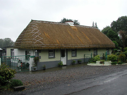 farm housefarm house · 2.0 mi
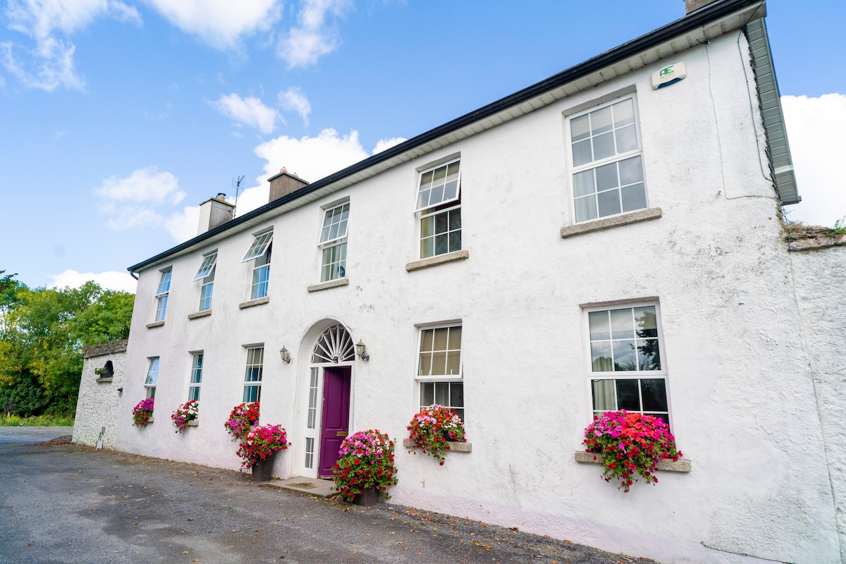 Ballyburly Ho.Castle, unclassified · 3.0 mi
 Holy PlantationForest · 3.5 mi
 Croghan HillMountain / peak · 3.5 mi
 Site of Lady Mary Warrens CastleCastle, unclassified · 3.6 mi
 Victoria PlantationWood · 3.7 mi
 Finnrenashark Holy WellSpring · 3.8 mi
Other information
Photo: Credit not shown in the picture search · Rights wording not checked; contact us if this picture should be removed