What is recorded here
A single stake (L 0.6m min.; diam. 0.045m) set at a 10? angle on the field surface. It is in good condition and has a torn end. Recorded by the Irish Archaeological Wetland Unit (University College, Dublin) in 2002. The evidence is not sufficient to warrant its acceptance as the remains of an archaeological monument. The original survey description was compiled by the Irish Archaeological Wetland Unit (University College, Dublin). Assessed and revised by: Caimin O'Brien, Paul Walsh
Date of upload: 23 May 2011
From the National Monuments Service (Archaeological Survey of Ireland) record OF003-053
The monument record does not grant public access. Check the route and ask the landowner before entering private land.
- What survives
- Recorded monument
Places near here
Enclosure in KnockdrinEnclosure · 354 ydKnockdrin HillMountain / peak · 663 ydStructureStructure, peatland · 1154 ydDerrygreenagh HillMountain / peak · 1508 yd farm house2.2 mifarm house2.2 miCroghan HillMountain / peak · 3.6 miHoly PlantationForest · 3.7 miCroghan Hill WalkWalking route · 3.8 miCastleCastle, unclassified · 4.1 miRattin CastleCastle, tower house · 4.4 miCroppies' GraveMemorial · 10 mi
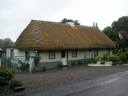 farm house2.2 mi
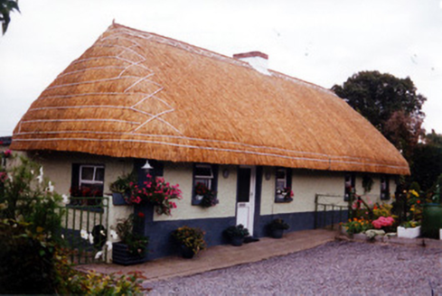 farm house2.2 mi
 Croghan HillMountain / peak · 3.6 miHoly PlantationForest · 3.7 miCroghan Hill WalkWalking route · 3.8 mi
 CastleCastle, unclassified · 4.1 mi
 Rattin CastleCastle, tower house · 4.4 mi
.jpg/250px-Croppies_Grave_Clonard_-_panoramio_(1).jpg "Photo: Robin Pollard, Wikimedia Commons · CC BY 3.0") Croppies' GraveMemorial · 10 mi
Croppies' GraveMemorial · 10 miPictures: National Inventory of Architectural Heritage; Sarah777 at en.wikipedia, Wikimedia Commons · Public domain; MookiePlays, Wikimedia Commons · CC BY-SA 4.0; Robin Pollard, Wikimedia Commons · CC BY 3.0
More archaeology and monuments in County Offaly · All of County Offaly
What do you know about this place?