What is recorded here
This site is located on Knockdrin Hill which is enclosed on all sides by Derrygreenagh Bog. No visible surface remains on this site in the area where the site was marked on the OS 6-inch map. May have been destroyed by argicultural practices in the area. Potential site identified as a cropmark on GSI aerial photograph that was taken in 1973 (GSI N 587/8).
From the National Monuments Service (Archaeological Survey of Ireland) record OF003-001
The monument record does not grant public access. Check the route and ask the landowner before entering private land.
- What survives
- Recorded monument
Places near here
Knockdrin HillMountain / peak · 309 ydStructureStructure, peatland · 354 ydStructureStructure, peatland · 1273 ydDerrygreenagh HillMountain / peak · 1664 yd farm house2.0 mifarm house2.0 miHoly PlantationForest · 3.5 miCroghan HillMountain / peak · 3.5 miCroghan Hill WalkWalking route · 3.7 miCastleCastle, unclassified · 4.3 miRattin CastleCastle, tower house · 4.5 miCroppies' GraveMemorial · 10 mi
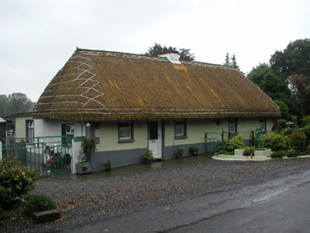 farm house2.0 mi
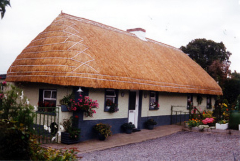 farm house2.0 miHoly PlantationForest · 3.5 mi
 Croghan HillMountain / peak · 3.5 miCroghan Hill WalkWalking route · 3.7 mi
 CastleCastle, unclassified · 4.3 mi
 Rattin CastleCastle, tower house · 4.5 mi
.jpg/250px-Croppies_Grave_Clonard_-_panoramio_(1).jpg "Photo: Robin Pollard, Wikimedia Commons · CC BY 3.0") Croppies' GraveMemorial · 10 mi
Croppies' GraveMemorial · 10 miPictures: National Inventory of Architectural Heritage; Sarah777 at en.wikipedia, Wikimedia Commons · Public domain; MookiePlays, Wikimedia Commons · CC BY-SA 4.0; Robin Pollard, Wikimedia Commons · CC BY 3.0
More archaeology and monuments in County Offaly · All of County Offaly
What do you know about this place?