
What is recorded here
Five fulacht fia are scattered across the wet ground near Garr, but this horseshoe-shaped mound remains the largest and clearest. Its open side faces the graveyard, inviting imagination about whether the heat served the living or the dead. The central depression still holds water, preserving the shape of repeated fire and flooding. People may have gathered there to cook, cleanse or remember, while the bog kept the evidence soft and hidden.
Small horseshoe shaped mound (c. 9.30m E-W, H c. 0.30m) with open side facing N and situated in lowlying boggy land WNW of Garr graveyard (OF004-002----) and beside other fulacht (OFOO4-018----).
On low-lying flat marshy land between good pasture land and bog with graveyard to S (OF004-002----). Grass covered horseshoe-shaped mound (11m N-S; 12 m E-W; H 0.3m) of burnt material with central waterlogged depression (5m by 1.5m) open to NNW (Wth 3m). Second fulacht fiadh 6m to the SW. One of a group of five fulachta fiadh.
The above description is derived from the published 'Archaeological Inventory of County Offaly' (Dublin: Stationery Office, 1997). In certain instances the entries have been revised and updated in the light of recent research.
Date of upload: 23 May 2011
The monument record does not grant public access. Check the route and ask the landowner before entering private land.
- What survives
- Recorded monument
Places near here
 Gortnatemple GraveyardBurial ground · 302 yd
 StructureStructure, peatland · 863 yd
 Moat HillCastle, motte · 871 yd
 Knockdrin HillMountain / peak · 1.5 mi
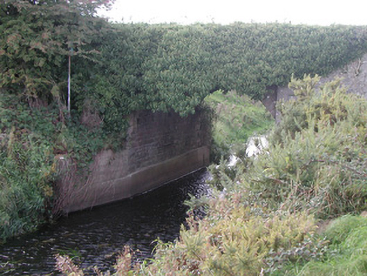 Baltinoran Bridgebridge · 1.8 mi
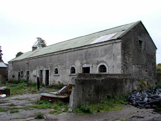 Greenhills Housestables · 1.9 mi
 Ballyburly Ho.Castle, unclassified · 2.4 mi
 Derrygreenagh HillMountain / peak · 2.4 mi
 Holy PlantationForest · 3.8 mi
 Victoria PlantationWood · 4.0 mi
 Croghan HillMountain / peak · 4.7 mi
 Croghan Hill WalkVisitor information · 5.0 mi
Other information
Photo: Credit not shown in the picture search · Rights wording not checked; contact us if this picture should be removed