What is recorded here
Modern burial ground with no above surface indications of any structure of archaeological interest. Located on good pasture land with the bog to the N and good pasture land to the S, W and E. Large trapezoidal area enclosed by modern wall with 18th/19th-century headstones. No other features visible.
From the National Monuments Service (Archaeological Survey of Ireland) record OF004-002
The monument record does not grant public access. Check the route and ask the landowner before entering private land.
- What survives
- Recorded monument
Places near here
Fulacht fia in GarrFulacht fia · 302 ydMoat HillMountain / peak · 875 ydStructureStructure, peatland · 1151 ydKnockdrin HillMountain / peak · 1.6 mi Baltinoran BridgeBridge · 1.8 miGreenhills HouseStables · 1.8 mifarm house1.9 miCastle JordanArchaeological place · 3.3 miRattin CastleCastle, tower house · 3.6 miHoly PlantationForest · 3.8 miCroghan HillMountain / peak · 4.8 miCroppies' GraveMemorial · 8.5 mi
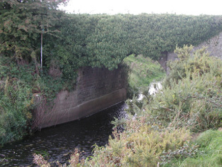 Baltinoran BridgeBridge · 1.8 mi
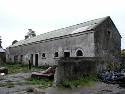 Greenhills HouseStables · 1.8 mi
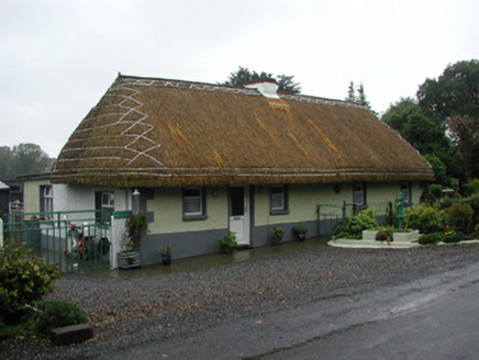 farm house1.9 mi
 Castle JordanArchaeological place · 3.3 mi
 Rattin CastleCastle, tower house · 3.6 miHoly PlantationForest · 3.8 mi
 Croghan HillMountain / peak · 4.8 mi
.jpg/250px-Croppies_Grave_Clonard_-_panoramio_(1).jpg "Photo: Robin Pollard, Wikimedia Commons · CC BY 3.0") Croppies' GraveMemorial · 8.5 mi
Croppies' GraveMemorial · 8.5 miPictures: National Inventory of Architectural Heritage; Mike Searle, Geograph · CC BY-SA 2.0; MookiePlays, Wikimedia Commons · CC BY-SA 4.0; Sarah777 at en.wikipedia, Wikimedia Commons · Public domain; Robin Pollard, Wikimedia Commons · CC BY 3.0
More archaeology and monuments in County Offaly · All of County Offaly
What do you know about this place?