
What is recorded here
The site (L 2.01m min.; Wth 1.97m; D 0.04m min.) is orientated NNW-SSE. It consists of closely laid mixed brushwood, a single roundwood and a peg. The majority of the elements are longitudinals but there are four transverses and occasional, irregularly laid brushwood. The peg is located in the centre of the site and is set at 80?. This site lies in moderately humified Sphagnum peat with ericaceous remains and occasional Eriophorum.
Compiled by: Irish Archaeological Wetland Unit (University College Dublin).
Date of upload: 23 May 2011
The monument record does not grant public access. Check the route and ask the landowner before entering private land.
- What survives
- Recorded monument
Places near here
 StructureStructure, peatland · 136 yd
 Derrygreenagh HillMountain / peak · 347 yd
 Enclosure in KnockdrinEnclosure · 1322 yd
 Knockdrin HillMountain / peak · 1485 yd
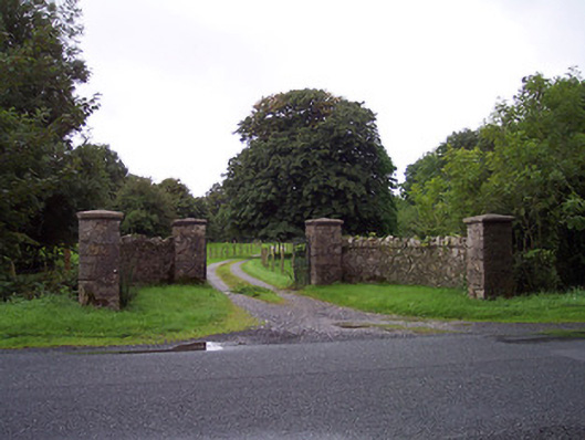 Sidebrook Housegates/railings/walls · 1.9 mi
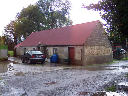 farmyard complex, housefarmyard complex, house · 2.1 mi
 Croghan HillMountain / peak · 3.2 mi
 Finnrenashark Holy WellSpring · 3.5 mi
 Croghan Hill WalkVisitor information · 3.6 mi
 OConor Falys or Croghan Castle (in ruins)House, fortified house · 3.6 mi
 Site of Lady Mary Warrens CastleCastle, unclassified · 3.6 mi
 Holy PlantationForest · 3.8 mi
Other information
Photo: Credit not shown in the picture search · Rights wording not checked; contact us if this picture should be removed