What is recorded here
Boulder-burial in Kilmore (carbery West (e.d) By.) stands at the NE end of an eight-metre line, its flat top wide enough for a palm to rest while the SW support stone holds the weight. Pasture stretches in every direction, inviting a person to sit beside it and watch the horizon change from white daylight to black shadow. The line repeats at short distances, suggesting a route walked or a boundary marked rather than a single tomb forgotten.
In level pasture with excellent views in all directions. The fourth of a series of four boulder-burials (CO132-029002-, CO132-029003-, CO132-029004-) set in a NE-SW line (total length 8m). This stands at the NE end and consists of a flat-topped, roughly square boulder (1.2m x 1.15m; H 0.65m) with a single support-stone visible under its SW side. Another boulder-burial (CO132-029004-) stands 0.95m to the SW and a standing stone (410, vol. 1) is c. 6m to the SE.
The above description is derived from 'The Archaeological Inventory of County Cork. Volume 5' (Dublin: Stationery Office, 2009).
Date of upload: 22 December 2009
Boulder-burial, likely dating to the Early Bronze Age (c. 2000–1500 BCE), associated with megalithic funerary traditions in south-west Ireland. Its alignment and positioning within a linear group suggest ritual or territorial significance.
The monument record does not grant public access. Check the route and ask the landowner before entering private land.
- What survives
- Recorded monument
Places near here
 Boulder-burial in Kilmore (carbery West (e.d) By.)Boulder-burial · 7 yd
 Poultalloon FortFairy fort / earthen ringfort · 404 yd
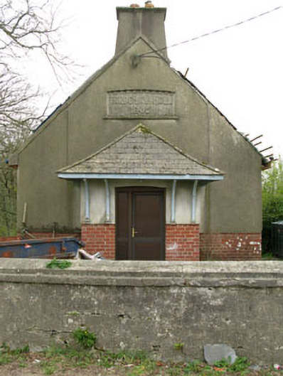 Parochial HallOfficially recorded historic building · 1.2 mi
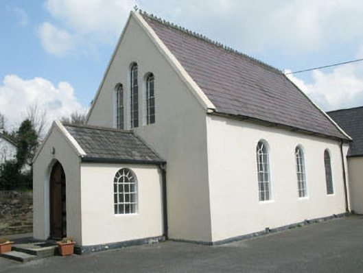 Drimoleague Methodist Churchchurch/chapel · 1.4 mi
 Moyny Bridge WalkWalking route · 1.7 mi
 Drimoleague Heritage Loop WalkWalking route · 1.9 mi
 Lissangle Castle (Site of)Castle, unclassified · 2.8 mi
 Ballyourane Castle (in Ruins)Castle, unclassified · 3.3 mi
 Milane HillMountain / peak · 4.6 mi
 Mullach MéiseMountain / peak · 5.3 mi
 Francis O'Neill PlaqueMemorial · 5.5 mi
 Bláth na GréineWood · 6.3 mi