
What is recorded here
Half-buried in a North-facing pasture, the circular fort holds a stone-choked passage that cuts into its west wall like a hidden throat. The earth bank rises only fifty centimetres, yet the shape remains exact enough to suggest people once drew a line around their own life and refused to let it blur. Whether the passage served trade, flight or a forgotten ritual, it still points downward, waiting for a hand bold enough to follow the dark.
In pasture, on break in N-facing slope. Circular area (diam. c. 25.5m) enclosed by earthen bank (H 0.5m) NNE->SSW; slight scarp SSW->NW (H 0.25m). Stone wall atop scarp SSW->NW, where it turns eastwards truncating interior to N. Man-made underground passage (CO132-030002-) in NW quadrant.
The above description is derived from the published 'Archaeological Inventory of County Cork. Volume 1: West Cork' (Dublin: Stationery Office, 1992). In certain instances the entries have been revised and updated in the light of recent research.
Date of upload/revision: 14 January 2009
The monument record does not grant public access. Check the route and ask the landowner before entering private land.
- What survives
- Recorded monument
Places near here
 Boulder-burial in Kilmore (carbery West (e.d) By.)Boulder-burial · 399 yd
 Fulacht fia in Derryduff (carbery West (e.d.) By.)Fulacht fia · 763 yd
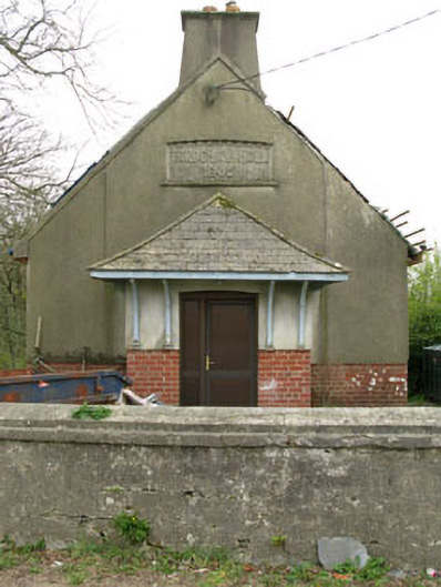 Parochial HallOfficially recorded historic building · 1.5 mi
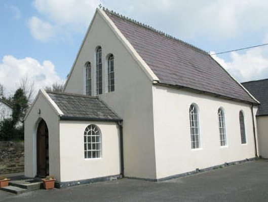 Drimoleague Methodist Churchchurch/chapel · 1.6 mi
 Moyny Bridge WalkWalking route · 2.0 mi
 Drimoleague Heritage Loop WalkWalking route · 2.1 mi
 Lissangle Castle (Site of)Castle, unclassified · 2.6 mi
 Ballyourane Castle (in Ruins)Castle, unclassified · 3.2 mi
 Milane HillMountain / peak · 4.8 mi
 Francis O'Neill PlaqueMemorial · 5.6 mi
 Bláth na GréineWood · 6.2 mi
 Sitka SpruceSitka Spruce · 6.5 mi
Other information
Photo: Credit not shown in the picture search · Rights wording not checked; contact us if this picture should be removed