What is recorded here
Ten metres across on a level field in Kilmessan, the ring-ditch still shows in cropmarks beside a meandering stream, with a rath ninety metres to the south. It is the kind of small enclosure people may have used to keep livestock, mark a boundary or perform a local ritual, yet no surviving account says which. The land has carried that shape through centuries of rain, plough and forgetfulness, waiting for someone to stand inside the circle and imagine the hands that dug it.
Situated on a fairly level landscape with a S-N meandering stream c. 70m to the E. The cropmark of a small circular enclosure (diam. c.10m) is visible on aerial images (ME037-003002-_1 to _3) taken in July 2108. The rath (ME037-003001-) is c. 90m to the S.
See the attached view courtesy of Oliver and Noel Murphy
Compiled by: Michael Moore based on details provided by Oliver and Noel Murphy.
Date of upload: 7 August, 2018
The monument record does not grant public access. Check the route and ask the landowner before entering private land.
- What survives
- Recorded monument
Places near here
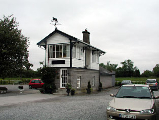 signal boxsignal box · 399 yd
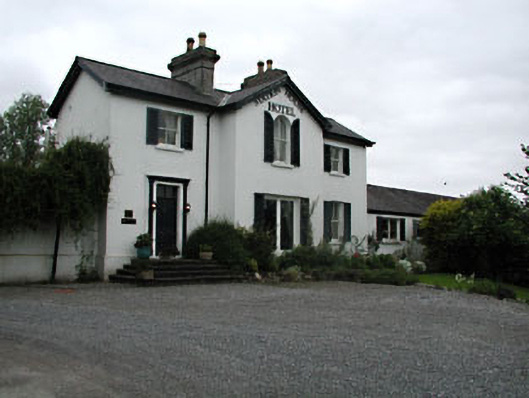 railway stationrailway station · 430 yd
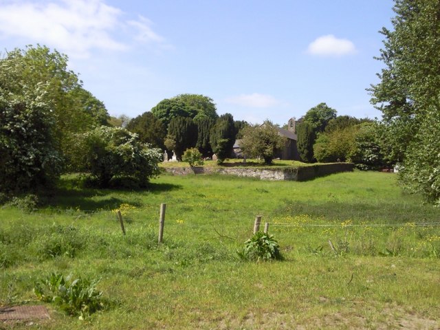 IndicatedGraveyard · 1166 yd
 CastleCastle, unclassified · 1576 yd
 Enclosure in Balreask (deece Lower By.)Enclosure · 1.3 mi
 Beech & Oak WoodWood · 1.7 mi
 CrockaphobbieWood · 1.8 mi
 Assey CastleCastle, tower house · 2.0 mi
 Battle of Tara (Ireland)Major battlefield · 2.3 mi
 Battle of Tara Hillbattle · 2.3 mi
 Saint Patrick'sMemorial · 2.4 mi
 Tara Open StudioGallery · 2.5 mi