What is recorded here
Fairy fort / ringfort in Kilmaglish is a fairy fort or ringfort in Kilmaglish, County Westmeath, Ireland. The site is a levelled ringfort with no surface remains visible. It is depicted on the 1837 edition of the Ordnance Survey 6-inch map as a circular enclosure intersected at the north by a townland boundary running roughly east to west. Neither the townland boundary nor the ringfort is depicted in this field on subsequent editions of the Ordnance Survey 6-inch maps, while the public road to the north marks the line of the townland boundary on the revised maps.
No surface remains visible of levelled ringfort which is depicted on the 1837 ed. OS 6-inch map as a circular enclosure intersected at N by a townland boundary running roughly E-W. The townland boundary and the ringfort are not depicted in this field on subsequent editions of the OS 6 inch maps. On the revised OS 6-inch maps the public road to the N now marks the line of the townland boundary.
Compiled by: Frank Coyne and Caimin O'Brien
Date of upload: 19 February 2018
The monument record does not grant public access. Check the route and ask the landowner before entering private land.
- What survives
- Recorded monument
Places near here
 St. Patricks WellHoly well · 361 yd
 Partially hachuredFairy fort / ringfort · 883 yd
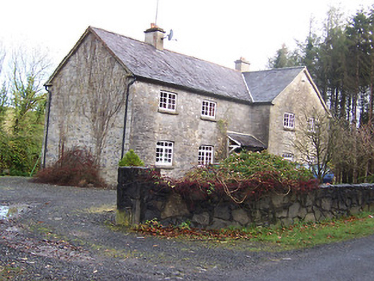 Woodview Househouse · 1102 yd
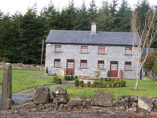 The Holliesworker's house · 1256 yd
 CastleCastle, motte · 1484 yd
 Scragh Bog Nature ReserveNature reserve · 1.4 mi
 Long PlantingForest · 1.6 mi
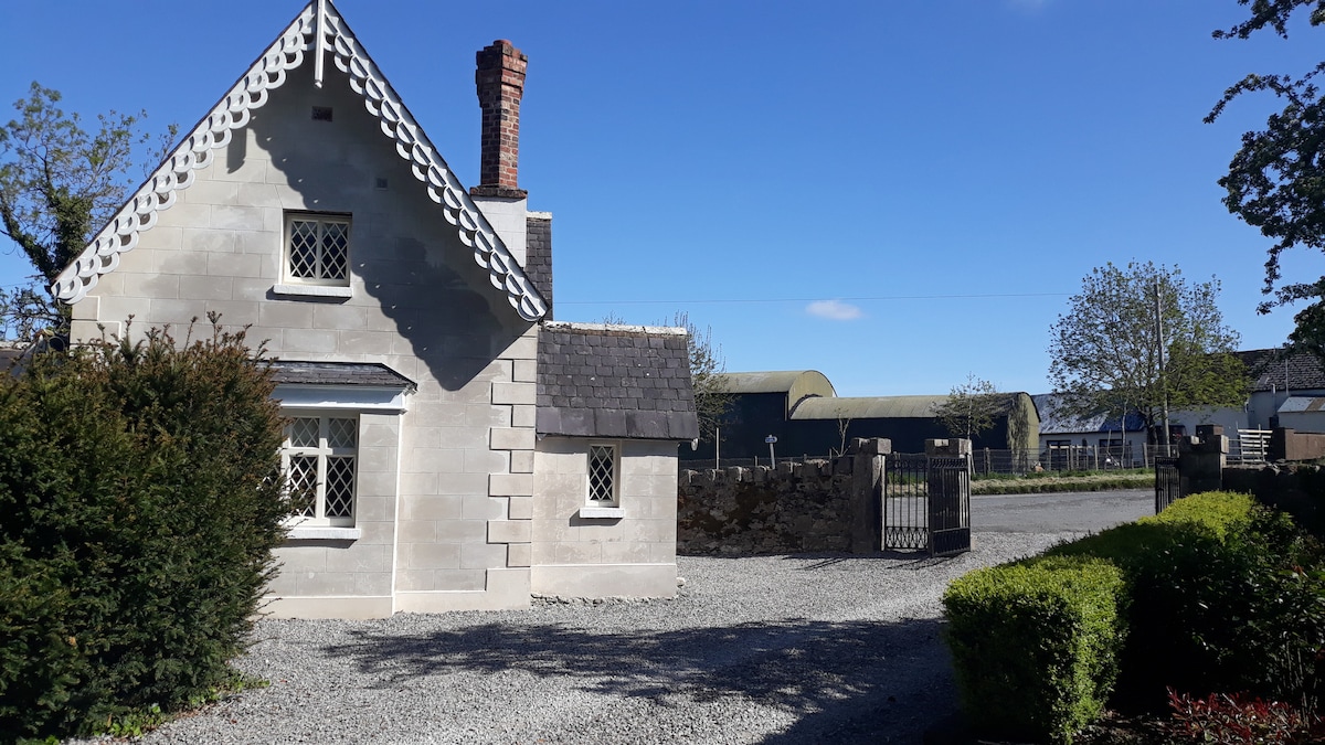 IndicatedCastle, tower house · 1.8 mi
 Church IslandIsland · 2.2 mi
 Saint Brigid's WellSpring · 3.0 mi
 Srudarra IslandIslet · 3.1 mi
 Bridge Memorial (Kenna)Memorial · 3.4 mi