What is recorded here
Crannog in Killylea stands on the northwest shore of Derrykerrib Lough, a steep-sided mound of earth and stone rising barely more than a metre above waterlogged pasture. Its flat top spans roughly fourteen by ten metres, large enough for a small dwelling or shelter, while its base disappears into shallow floodwater. The crannog may have been a seasonal retreat, a fishering camp or a household that followed the lough’s moods. In either case, it is a made place, shaped by human hands to hold its ground against the tide of the land.
Located on the NW shore of Derrykerrib lough in level, low pasture which at the time of inspection (2000) was extremely waterlogged. The monument comprises a grass-covered, steep-sided mound of earth and stone (dims. c.17m NNW-SSE; c.12m ENE-WSW-max H c1.1m). The top of the mound is relatively flat (dims. c. 14.5m x c.10.5m). The lower portion of the mound was encircled by up 0.3m in water.
Compiled by: Chris Corlett, Paul Walsh
Date of upload: 15 February 2018
The monument record does not grant public access. Check the route and ask the landowner before entering private land.
- What survives
- Recorded monument
Places near here
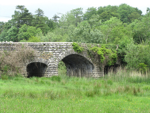 Quivvy Bridgebridge · 146 yd
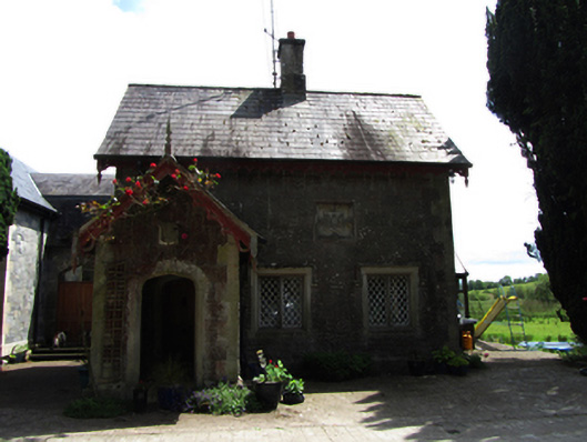 Lanesborough Lodgegate lodge · 186 yd
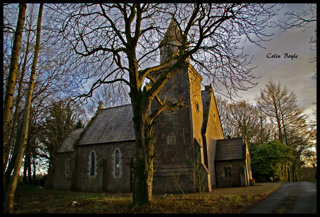 Quivvy WoodWood · 1054 yd
 Derryarmush ForestForest · 1.0 mi
 Grilly Castle in RuinsCastle, unclassified · 1.7 mi
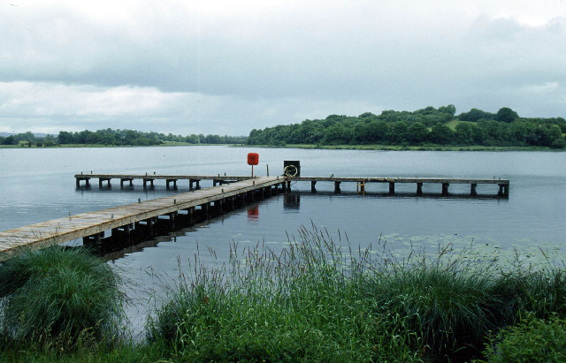 Galloon IslandIsland · 1.9 mi
 Small IslandIslet · 2.1 mi
 HOLY WELL: TOBERAKILL in KiltoberHOLY WELL: TOBERAKILL · 2.3 mi
 IndicatedFairy fort / earthen ringfort · 2.3 mi
 Bawn in KillyfanaBawn · 2.4 mi
 ClonandraMountain / peak · 2.6 mi
 InishfendraMountain / peak · 2.8 mi