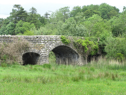
What is recorded here
Triple-arch limestone road bridge, built c.1870, central arch flanked by narrower and lower arches supporting a narrow slightly humped deck. Rock-faced elevations, piers, and abutments of stone blocks in varying course heights. Elliptical arched with deep rock-faced voussoirs, arch soffit of coursed cut stone. Smooth round-edged parapet copings, Scotch coping to wing walls. Wings extend along curved approach road from south with one square-profile pier with capping to south-east. Wings to north extend along approach road and widen in front of gates and lodge to Lanesborough Lodge.
A narrow bridge with expressive rusticated stone elevations contrasting to the smooth humped deck curve and coping above. It spans a water channel connection flood plains between Killylea Lough and Derrykerrib Lough. The parapets extend along long approach roads and to the north widen in recognition of the entrance to the setting of lodge and gates to Lanesborough Lodge. It is an example of late nineteenth-century bridge construction and makes an important contribution to the historic character of its landscape setting.
This does not grant access. Most recorded buildings are privately owned; view them only from public ground unless the owner allows entry.
Places near here
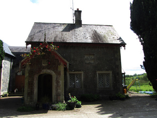 Lanesborough Lodgegate lodge · 125 yd
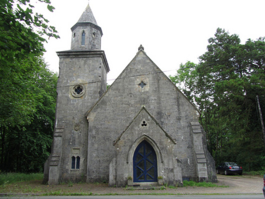 Quivvy Church (Drumlane)church/chapel · 281 yd
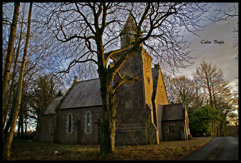 Quivvy WoodWood · 1045 yd
 Derryarmush ForestForest · 1.0 mi
 Grilly Castle in RuinsCastle, unclassified · 1.7 mi
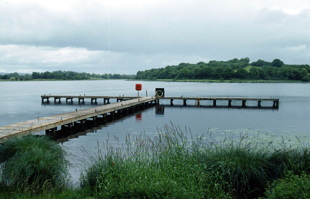 Galloon IslandIsland · 1.8 mi
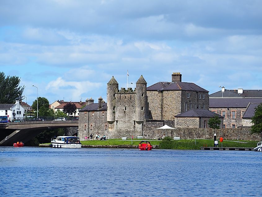 Small IslandIslet · 2.0 mi
 HOLY WELL: TOBERAKILL in KiltoberHOLY WELL: TOBERAKILL · 2.3 mi
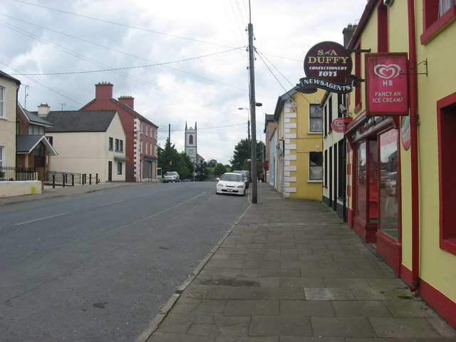 IndicatedFairy fort / earthen ringfort · 2.4 mi
 Bawn in KillyfanaBawn · 2.5 mi
 ClonandraMountain / peak · 2.6 mi
 InishfendraMountain / peak · 2.7 mi
Other information
Photo: National Inventory of Architectural Heritage · Website use allowed for educational or private purposes with source credit