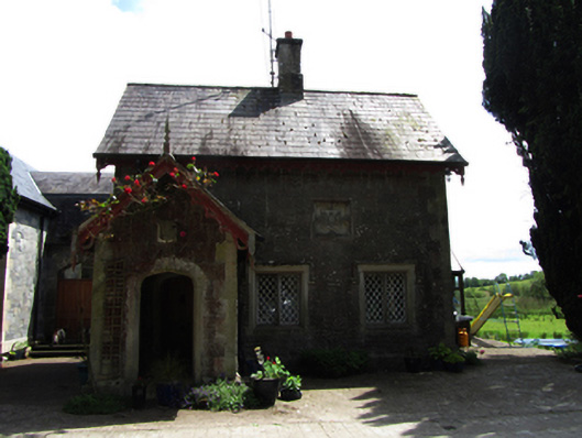
What is recorded here
Detached Tudor-Revival style three-bay single-storey with dormer attic gate lodge, built 1859, with open asymmetrical porch, single- and two-storey extension, c.2000, to rear and east. Now in use as private house. Pitched slate roof to house and porch with clay ridge tiles, decorative timber barges and eaves, pressed metal rainwater goods, rendered chimneystack to centre of ridge. Squared and snecked roughly dressed limestone walls, with smooth block-and-start sandstone to corners and smooth bevelled plinth. Butler family coat-of-arms in square frame to main elevation, date ‘1859’ in shield motif to porch gable. Bipartite and tripartite mullioned windows at ground floor and gables with metal lattice glazing in timber frames, chamfered sandstone surrounds with Tudor hoods. Chamfered sandstone surround to door openings and to pointed arches on three faces of porch. Pointed panelled timber door with metal studs within porch having exposed timber rafters to ceiling. Set on east side of drive behind pair of bevelled stone gate piers with decorative cast-iron gates.
A picturesque gate lodge, built as part of the estate of George John Danvers Butler, 5th Earl of Lanesborough, in the Tudor Revival style that was applied to the main house. It is part of an ensemble that includes the nearby church and the now ruined main house, Lanesborough Lodge. Gates lodges were built not only to provide surveillance at a demesne entrance, but also to indicate the grandeur of the house it served, and this gate lodge is an excellent example of the high quality and design of gate lodges in the nineteenth century.
This does not grant access. Most recorded buildings are privately owned; view them only from public ground unless the owner allows entry.
Places near here
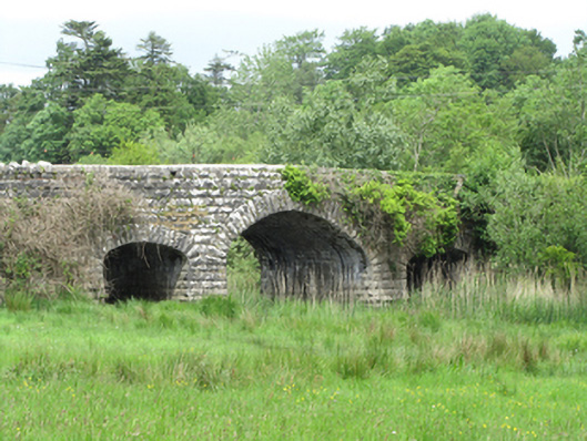 Quivvy Bridgebridge · 125 yd
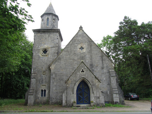 Quivvy Church (Drumlane)church/chapel · 182 yd
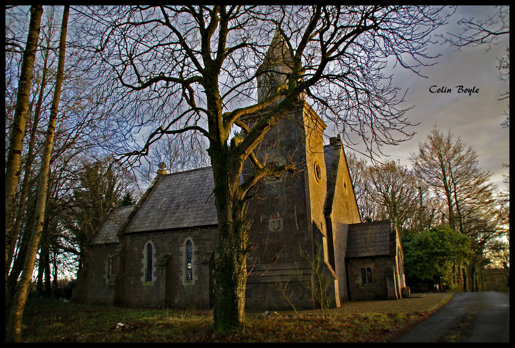 Quivvy WoodWood · 921 yd
 Derryarmush ForestForest · 1.1 mi
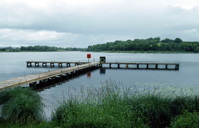 Galloon IslandIsland · 1.8 mi
 Grilly Castle in RuinsCastle, unclassified · 1.8 mi
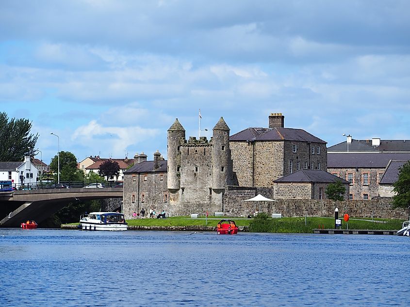 Small IslandIslet · 2.0 mi
 HOLY WELL: TOBERAKILL in KiltoberHOLY WELL: TOBERAKILL · 2.2 mi
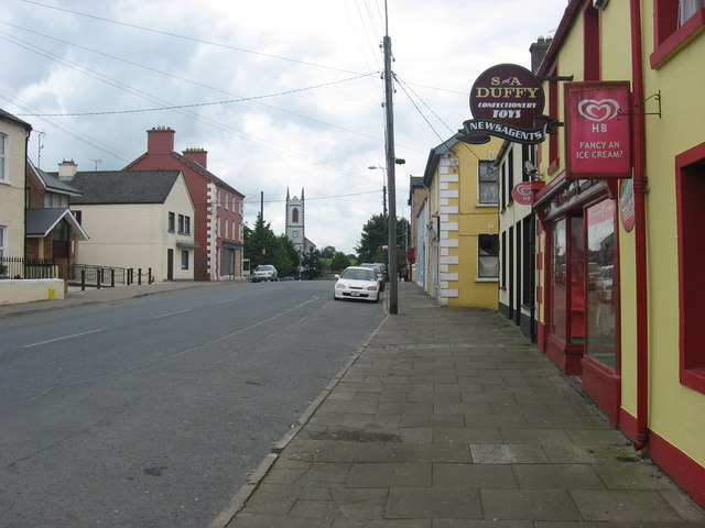 IndicatedFairy fort / earthen ringfort · 2.4 mi
 Bawn in KillyfanaBawn · 2.5 mi
 ClonandraMountain / peak · 2.6 mi
 InishfendraMountain / peak · 2.7 mi
Other information
Photo: National Inventory of Architectural Heritage · Website use allowed for educational or private purposes with source credit