
What is recorded here
Grave Yard in County Monaghan, Ireland holds disc-head stones from the 1740s and later rectangular markers, arranged around a church on a sunny ridge. Its shallow ditch and steep scarps still outline a narrow oval where early burials clustered south and west, while later ones moved east and north. The changing stone shapes suggest a community confident enough to display wealth, faith and memory across a whole century.
Situated at the crest of the S-facing slope of an E-W ridge. The church (MO012-070----) is within a subcircular or D-shaped graveyard (dims c. 50m NW-SE; c. 45m NE-SW) defined by a scarp (Wth 2.2m; ext. H 1.5m) and a slight outer ditch (Wth of base 0.5m; ext. D 0.1m) SW-W, which might be the only part of the original perimeter surviving, although its line merges into a field bank E-SW. The perimeter is formed by straight scarps and outer ditches at NW (L c. 25m) and NE (L c. 35m) with a gateway to a roadway where they meet at N. The headstone inscriptions, with an array of mortuary and trade symbols, have been recorded (McCaughey et al. 1982, 131-40) and date largely from 1714 to c. 1800. An analysis of the headstones (Mytum and Evans 2002) concludes that the disc-head form reached its apogee in the 1740s to be replaced by the rectangular form later in the century with the more prestigious horizontal ledger or graveslab occurring throughout the century. The area S and W of the church was used for the earlier headstones with later examples in the E and N and the peripheral areas.
Compiled by: Michael Moore
Date of revised upload: 29 November 2016
The monument record does not grant public access. Check the route and ask the landowner before entering private land.
- What survives
- Recorded monument
Places near here
 RuinsChurch · 13 yd
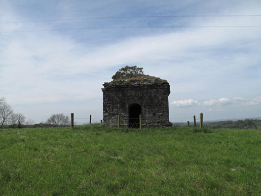 mausoleummausoleum · 163 yd
 Crannog in Drumcaw (dartree By.)Crannog · 963 yd
 Common LimeCommon Lime · 1153 yd
 IndicatedEcclesiastical site · 1339 yd
 KillycoonaghWood · 1430 yd
 Saint John's WellSpring · 1691 yd
 Roosky Castle (Site of)Castle, ringwork · 1.8 mi
 Lisarrilly HillMountain / peak · 2.2 mi
 Jaundice WellSpring · 2.4 mi
 Abbey RuinsHeritage attraction · 2.9 mi
 The Cassandra Hand CentreMuseum · 2.9 mi
Other information
Photo: Kieran Campbell · Creative Commons Attribution-ShareAlike 2.0