What is recorded here
Killartery holds a forgotten ringfort where a shallow ditch once cut a twenty-seven metre circle on a NE-facing slope. A five-metre gap at the east marked the entrance, but soil and time have buried the walls until satellite imagery revealed the ghost shape. People may have lived there, feared there, or simply passed the hollow without knowing its name.
Located on a NE-facing slope. The cropmark of a circular area (diam. c. 27m) defined by a single fosse with an entrance gap (Wth c. 5m ) at ESE is only visible on Digital Globe (2011-13). It was first reported by Jean Charles Caillére.
See the attached enhanced view from Digital Globe (2011-13)
Compiled by: Michael Moore
Date of upload: 21 January 2022
The monument record does not grant public access. Check the route and ask the landowner before entering private land.
- What survives
- Recorded monument
Places near here
 Enclosure in DalesEnclosure · 353 yd
 Enclosure in MayneEnclosure · 1185 yd
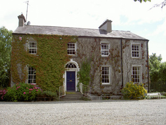 Walshestown Housecountry house · 1744 yd
 Church (in ruins)Church · 1.0 mi
 Castle RuinsCastle, tower house · 1.9 mi
 Chapel (in Ruins), GraveyardChurch · 2.1 mi
 Moneyveg WoodForest · 2.4 mi
 Graveyard in DysartGraveyard · 2.8 mi
 Castle (Site of)Castle, tower house · 2.9 mi
 Sweet baySweet bay · 2.9 mi
 Tullydonnell HillMountain / peak · 3.8 mi
 MonasterboiceEarly monastic site · 5.8 mi