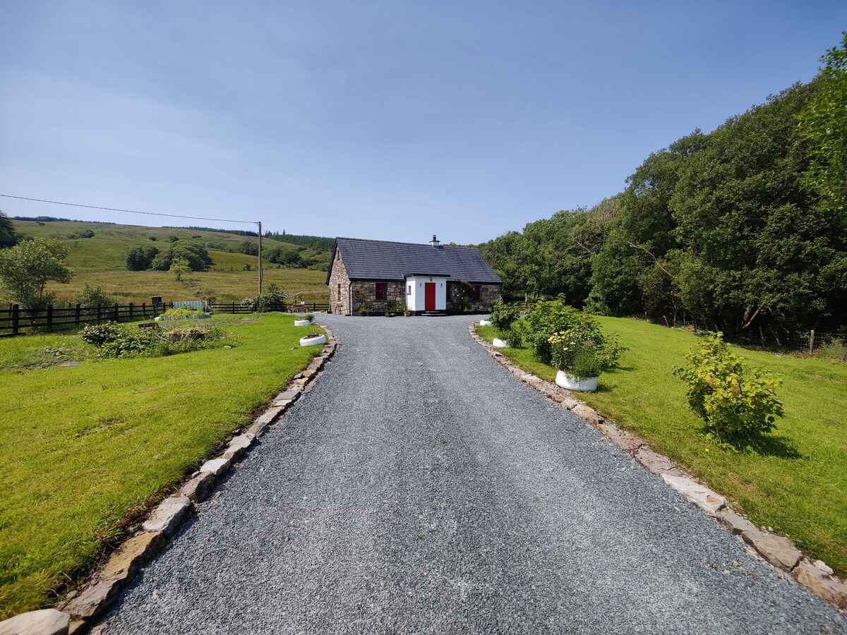
What is recorded here
Half a kilometre south of the main ridge, a 30-metre circle of earth and shadow waits beneath the grass. The bank stands less than a metre high but the ditch beside it is wide enough to swallow a cart, marking a boundary drawn before carts existed. People may have lived inside that ring, raised children there, or fled it when the fairies came out at dusk. Either way the land remembered the shape and kept it sharp against the sky.
Located towards the S end of a N-S drumlin ridge. This is an overgrown circular area (diam. c. 30m) defined by an earthen bank (Wth 4.2m; int. H 0.2m; ext. H 0.9m) and external fosse (Wth of top 4.6m; Wth of base 1.6m; D 0.2m). There is an entrance (Wth 2m), probably not original, at N.
The above description is derived from 'The Archaeological Inventory of County Leitrim' compiled by Michael J. Moore (Dublin: Stationery Office, 2003). In certain instances the entries have been revised and updated in the light of recent research.
Date of upload: 23 September 2008
The monument record does not grant public access. Check the route and ask the landowner before entering private land.
- What survives
- Recorded monument
Places near here
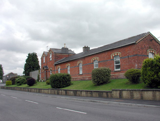 Saint Felim's Collegerailway station · 1254 yd
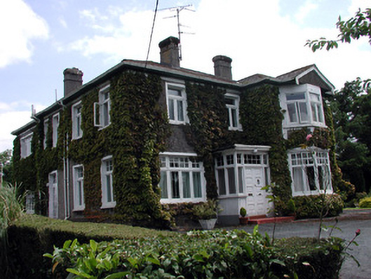 Maryvillehouse · 1328 yd
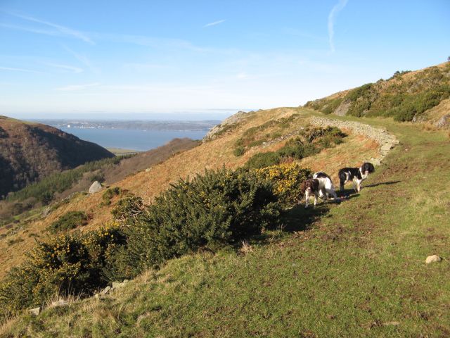 Embanked enclosureFairy fort / earthen ringfort · 1528 yd
 Enclosure in KilrushEnclosure · 1569 yd
 DrumbadMountain / peak · 2.0 mi
 DrumgownaghMountain / peak · 2.1 mi
 Swan Island pet farmHeritage attraction · 3.0 mi
 Cromlin Bridge WoodWood · 3.1 mi
 Cornagunleog ForestForest · 3.3 mi
 Bawn in Cherry IslandBawn · 3.3 mi
 Cherry IslandIslet · 3.3 mi
 BatteryBawn · 3.5 mi
Other information
Photo: Credit not shown in the picture search · Rights wording not checked; contact us if this picture should be removed