What is recorded here
On N-facing slope of low hillock, abutting natural depression subject to flooding. Discovered during construction of Cork-Dublin gas pipeline; excavated September 1982 (Hurley 1987, 46-48). Excavation revealed pit (L4m; Wth 2.9m) containing wooden trough (L 1.4m; Wth 1.45m). Oak twigs lined trough base; E and N sides were faced with oak planks; only few twigs remained on W; S side comprised stone slab with oak plank forming 'step' feature. Wood from trough radiocarbon dated to 3185 ± 30 B.P. Hearth visible as area of oxidized clay bisected by modern drain; semi-circularrevetment of 10-12 stones on SE side. Excavator suggests mound of burnt material (originally roughly semi-circular in shape) was deliberately levelled to backfill pit. Second fulacht fiadh (CO045-116---) c. 80m to N.
The above description is derived from the published 'Archaeological Inventory of County Cork. Volume 2: East and South Cork' (Dublin: Stationery Office, 1994). In certain instances the entries have been revised and updated in the light of recent research.
Date of upload/revision: 14 January 2009
The monument record does not grant public access. Check the route and ask the landowner before entering private land.
- What survives
- Recorded monument
Places near here
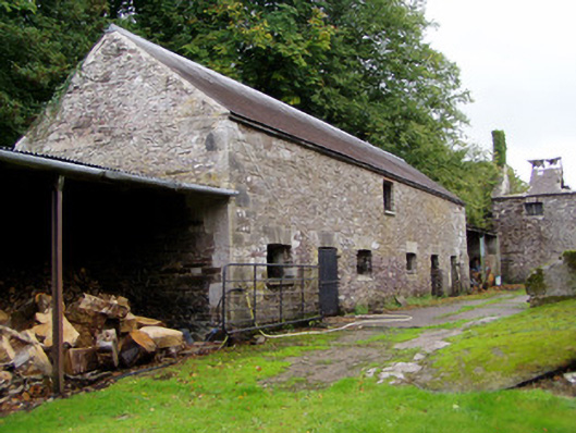 Ballyvolane Housefarmyard complex · 731 yd
 IndicatedKiln, lime · 732 yd
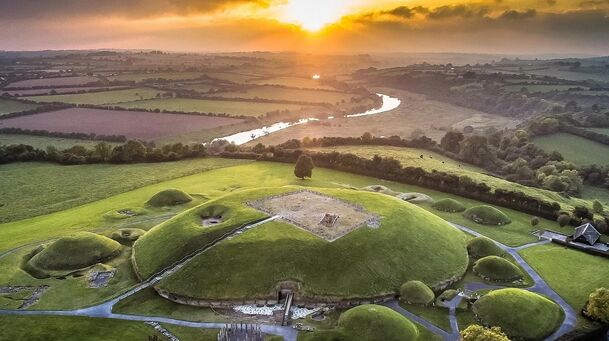 Burnt mound in BallaheenBurnt mound · 1309 yd
 Fulacht fia in Kilcor NorthFulacht fia · 1.1 mi
 Castle (Site of)Castle, unclassified · 1.1 mi
 Castle (in Ruins)Castle, tower house · 2.4 mi
 Rathcormac massacremassacre · 2.8 mi
 Graveyard in KillasseraghGraveyard · 3.0 mi
 Aghern CemeteryWood · 3.0 mi
 Coole WellVisitor information · 3.7 mi
 Pope's WellSpring · 3.9 mi
 Devonshire's HillMountain / peak · 4.3 mi