What is recorded here
Kilcor North holds a fulacht fia where burnt material still spreads through tillage east of the castle. A slight rise marks the area beside a western stream, suggesting people heated water or food in that damp ground long ago. The site transforms ordinary farmland into a place where heat, water and human labour met repeatedly.
Spread of burnt material in tillage to E of Kilcor castle (CO045-05701-); slight rise in area of site; stream to W.
The above description is derived from the published 'Archaeological Inventory of County Cork. Volume 2: East and South Cork' (Dublin: Stationery Office, 1994). In certain instances the entries have been revised and updated in the light of recent research.
Date of upload/revision: 14 January 2009
The monument record does not grant public access. Check the route and ask the landowner before entering private land.
- What survives
- Recorded monument
Places near here
 Castle (Site of)Castle, unclassified · 211 yd
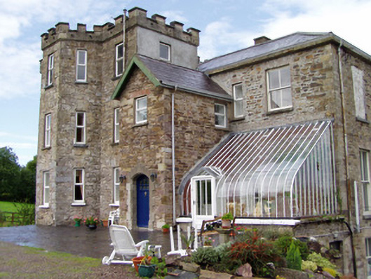 Kilcor Castlecountry house · 261 yd
 Enclosure in BallyarraEnclosure · 1283 yd
 Field system in BallyarraField system · 1305 yd
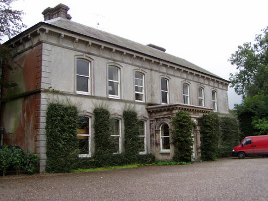 Ballyvolane Househouse · 1.0 mi
 Castle (in Ruins)Castle, tower house · 1.4 mi
 Rathcormac massacremassacre · 3.2 mi
 Strawhall WoodForest · 4.4 mi
 Ballybrack WoodForest · 4.8 mi
 Devonshire's HillMountain / peak · 5.0 mi
 Kent BridgeMemorial · 5.9 mi
 Tourist InformationVisitor information · 5.9 mi
Other information
Photo: Credit not shown in the picture search · Rights wording not checked; contact us if this picture should be removed