What is recorded here
Situated on the floor of the NE-SW upper Araglin river valley, at the S edge of the ravine of a NE-SW tribuatary stream at a point where it turns NW. This is a semicircular setting of six stones (diam. 4.5m) open to the N. It is part of a concentrated group, but is located c. 15m SE of the others grouped around the cairn circle (WA014-033014-). (Moore 1995, 205, 220-22, 243, N6)
This monument forms part of the national monument complex at Coumaraglinmountain (National Monuments (Preservation) Order No. 4 of 1996).
The above description is derived from the published 'Archaeological Inventory of County Waterford' (Dublin: Stationery Office, 1999). In certain instances the entries have been revised and updated in the light of recent research.
Compiled by: Michael Moore
Date of upload/revision: 18 November 2010
The monument record does not grant public access. Check the route and ask the landowner before entering private land.
- What survives
- Recorded monument
Places near here
 CairnCairn, cairn circle · 118 yd
 Fulacht fia in CoumaraglinmountainFulacht fia · 320 yd
 Standing StoneMemorial · 440 yd
 KilnKiln, lime · 521 yd
 Coumaraglin MountainMountain / peak · 1.2 mi
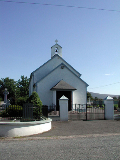 Saint Patrick's Catholic Churchchurch/chapel · 1.7 mi
 SeefinMountain / peak · 1.9 mi
 Mahon ValleyCliff · 3.1 mi
 Bawn in BarnankileBawn · 3.2 mi
 Magic Road (start)Heritage attraction · 4.1 mi
 Magic Road (finish)Heritage attraction · 4.1 mi
 Castle (in ruins)Castle, tower house · 4.5 mi