What is recorded here
Down Survey (1655-6) map records four houses in this area (see also CW007-016002-; CW007-016003- and CW007-016004-). Not precisely located.
Compiled by: Claire Breen
Date of upload: 19 August 2011
The monument record does not grant public access. Check the route and ask the landowner before entering private land.
- What survives
- Recorded monument
Places near here
 Ecclesiastical enclosure in BusherstownEcclesiastical enclosure · 222 yd
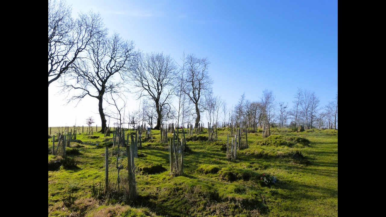 Burial GroundChurch · 563 yd
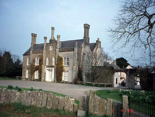 Johnstown Housecountry house · 645 yd
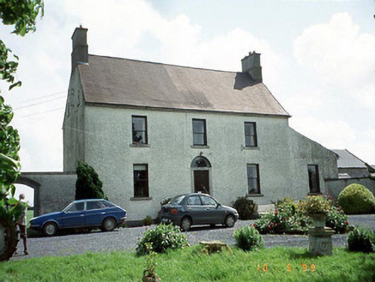 Busherstown Housefarm house · 772 yd
 Graigue Castle in ruinsCastle, unclassified · 1754 yd
 Site of CastleCastle, unclassified · 1.1 mi
 Brownshill Portal TombVisitor information · 1.4 mi
 Cork oakCork oak · 2.1 mi
 European YewEuropean Yew · 2.1 mi
 Duckett's GroveHeritage attraction · 2.3 mi
 Kilmurry Church (in ruins), GraveyardChurch · 3.8 mi
 Church (in ruins), GraveyardChurch · 4.9 mi