What is recorded here
On very gentle SW-facing slope on a hilltop in undulating terrain under pasture. Slightly irregular rectangular enclosure (diam. 55m NE-SW; 38m NW-SE) defined by a low earthen bank (Wth 8.7m; int. H 0.41m; ext. H 1.42m), except along SE side where the bank (int. H 0.55m; ext. H 2.5m) appears to have been augmented by material from the external fosse which has a field boundary running along the outer edge of the fosse. Moated site is relatively clear of vegetation, though the SW quadrant is heavily over grown with scrub and there are trees growing around the edge of the monument. Some undulations in the interior may be indications of building foundations. At E end of NE side the bank has been reduced to scarp (Wth c. 4.5m) where farm machinery has been accessing the interior.
Compiled by: Jean Farrelly
Date of upload: 26 August 2011
The monument record does not grant public access. Check the route and ask the landowner before entering private land.
- What survives
- Recorded monument
Places near here
 Arbourhill Ho.House, 17th century · 398 yd
 St. Brogans WellHoly well · 610 yd
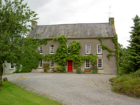 Clonbrogan Househouse · 902 yd
 MonumentArchaeological place · 1074 yd
 CastleCastle, ringwork · 1.1 mi
 Site of CastleCastle, unclassified · 1.7 mi
 Noan WoodWood · 2.2 mi
 Taylor's WoodWood · 2.4 mi
 Ballinure HillMountain / peak · 2.9 mi
 Kilknockan HillMountain / peak · 3.9 mi
 Gobban Saer's GraveArchaeological place · 4.7 mi
 East GateMemorial · 4.8 mi