What is recorded here
In level pasture. Slightly raised (H 0.3m) circular area (dims. c. 24m N-S; c. 24m E-W) defined by slightly visible trace of fosse (Wth 1.5m; D 0.05m) S-W-N. Traces of field boundary (long axis E-W) at S of monument. Enclosure (TS068-076----) located c. 420m to WNW.
Compiled by: Jean Farrelly
Date of upload: 26 August 2011
The monument record does not grant public access. Check the route and ask the landowner before entering private land.
- What survives
- Recorded monument
Places near here
 Enclosure in Lagganstown LowerEnclosure · 465 yd
 Hymenstownhouse · 588 yd
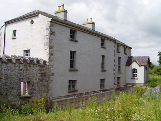 Mill Housemill (water) · 909 yd
 Boytonrath Castle (in ruins)Castle, unclassified · 1505 yd
 Ecclesiastical enclosure in MasterstownEcclesiastical enclosure · 1610 yd
 CastleCastle, unclassified · 1673 yd
 Athassel PrioryHeritage attraction · 2.4 mi
 Caucasian zelkovaCaucasian zelkova · 3.3 mi
 Cappa WoodWood · 4.0 mi
 Slieveanard NE TopMountain / peak · 4.6 mi
 Caher AbbeyHeritage attraction · 5.1 mi
 SlieveanardMountain / peak · 5.3 mi