
What is recorded here
In N sector of pasture field and remainder in small paddock to rear of single storey cottage. Circular area (dims. c. 27.5m N-S; 30m E-W) defined by levelled out bank; high scarp S-W-NW (Wth c. 2.45m; H. c. 5.5m) and low scarp WNW-N-ENE (Wth c. 4m; H c. 0.6m) and very low scarp (Wth c. 4m; H. 0.6m) ENE-S. Interior slopes down gently to E. External fosse (Wth 8.5m; D 2.45m) and only traces exist at WNW. A natural depression exists at WNW-N and no fosse is present at N-SE. Corner of shed protrudes into fosse area at SE and wall protrudes into fosse SE-SSE. Fosse has a very low profile SE-SW (Wth c. 3.0m; D c. 0.2m). ext Wth of scarp c. 5.50m at S; ext H of scarp c. 1.10m at S. Enclosure (TS068-077----) located c. 700m to WSW; Enclosure (TS068-076----) located c. 970m to ESE.
Compiled by: Jean Farrelly
Date of upload: 26 August 2011
The monument record does not grant public access. Check the route and ask the landowner before entering private land.
- What survives
- Recorded monument
Places near here
 Hymenstownhouse · 973 yd
 CastleCastle, unclassified · 1227 yd
 Site of ChurchChurch · 1324 yd
 Field system in BallyslatteenField system · 1333 yd
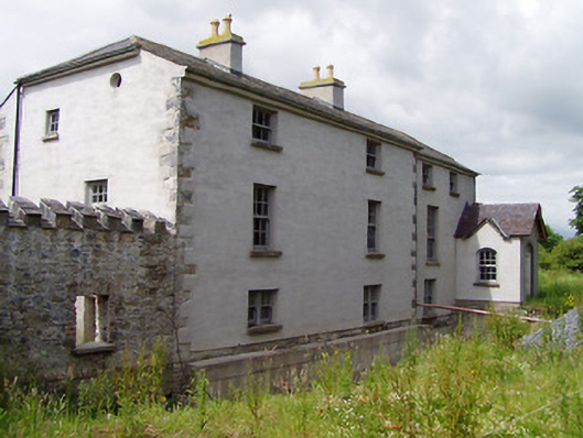 Mill Housemill (water) · 1369 yd
 Boytonrath Castle (in ruins)Castle, unclassified · 1647 yd
 Athassel PrioryHeritage attraction · 2.2 mi
 Caucasian zelkovaCaucasian zelkova · 3.2 mi
 Cappa WoodWood · 3.9 mi
 Slieveanard NE TopMountain / peak · 4.6 mi
 SlieveanardMountain / peak · 5.2 mi
 I.R.A. 3rd. Tipperary Brigade MemorialMemorial · 8.1 mi
Other information
Photo: Credit not shown in the picture search · Rights wording not checked; contact us if this picture should be removed