What is recorded here
Situated on NNW-SSE orientated natural ridge in gently undulating pasture. The ridge is one of a series of very low natural ridges traversing the peninsula that leads to Portavaud point. Roughly rectangular area (dims. 5m NW-SE; 3.1m NE-SW) enclosed by an earthen scarped edge (ext. H 0.35m) with an external fosse (Wth 1.5m; D 0.2m-0.4m). The position of the original entrance is not distinguishable. The interior slopes slightly facing SW.
Compiled by: Mark Keegan
Date of upload: 19 January 2011
The monument record does not grant public access. Check the route and ask the landowner before entering private land.
- What survives
- Recorded monument
Places near here
 Enclosure in PortavaudEnclosure · 164 yd
 Portavaud PointHeadland · 551 yd
 Cliff-edge fort in BuninnaCliff-edge fort · 632 yd
 Ballinlig PointHeadland · 814 yd
 Lahanacappul IslandIslet · 981 yd
 CastleCastle, ringwork · 998 yd
 Derk HouseOfficially recorded historic building · 1.0 mi
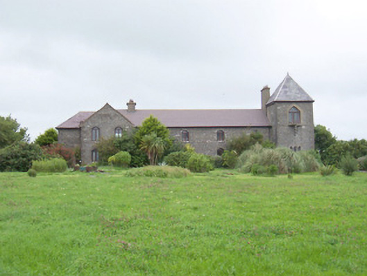 The Old Coastguard Stationcoastguard station · 1.2 mi
 CulleenamoreBeach / strand · 1.2 mi
 Bawn in CarrowbrickeenBawn · 1.3 mi
 Giant's GraveArchaeological place · 1.4 mi
 Strandhill BeachBeach / strand · 1.7 mi