
What is recorded here
This oblong enclosure runs NW/SE (L 6.50m, Wth 4.50m). It is defined by an inner ditch (Wth 0.50m, D 0.40m, and outer bank (Wth 1.50m, H 0.20m-0.30m).
Compiled by: Geraldine Stout
Date of upload: 12 April 2013
The monument record does not grant public access. Check the route and ask the landowner before entering private land.
- What survives
- Recorded monument
Places near here
 Cliff-edge fort in BuninnaCliff-edge fort · 474 yd
 Portavaud PointHeadland · 690 yd
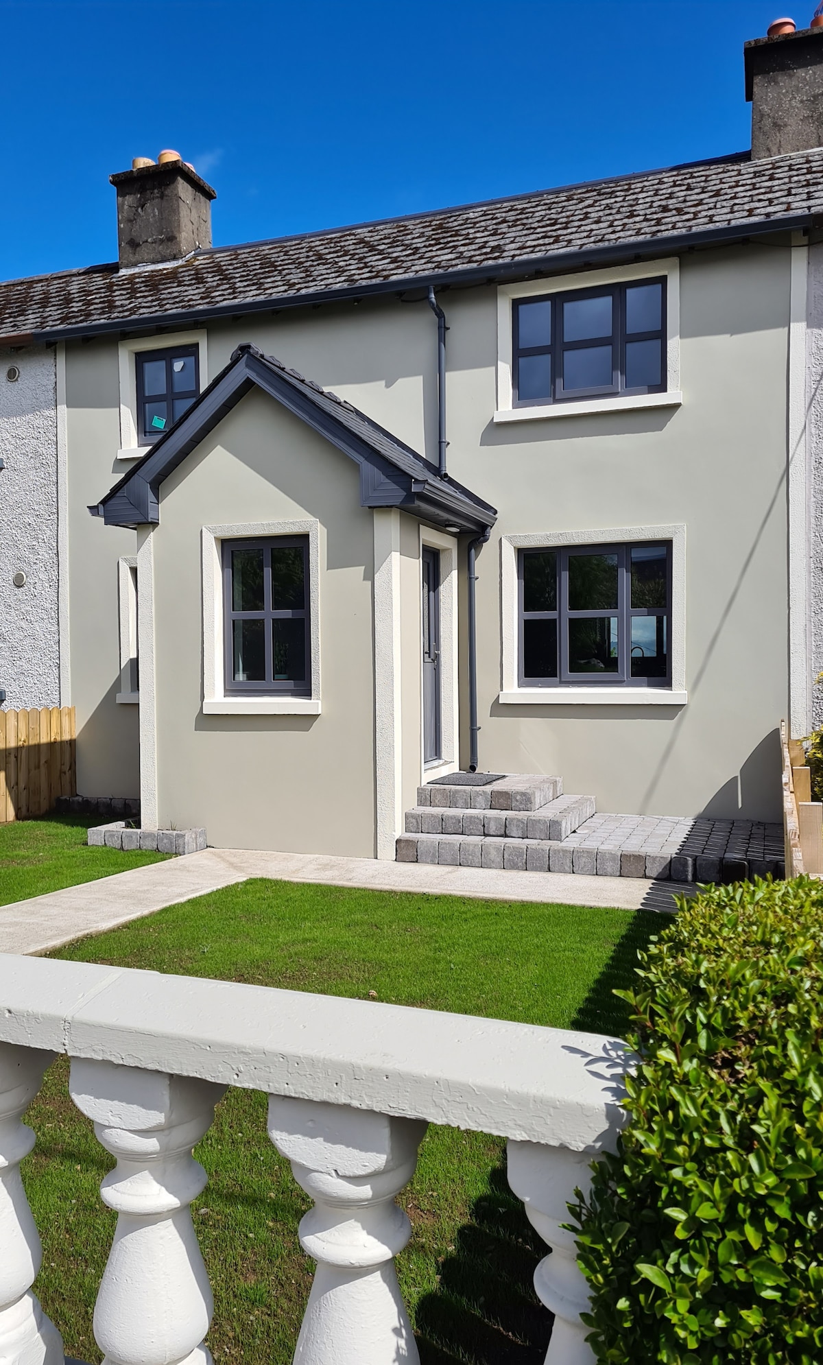 Enclosure in Ballinlig (tireragh By.)Enclosure · 712 yd
 CastleCastle, ringwork · 904 yd
 Ballinlig PointHeadland · 923 yd
 Lahanacappul IslandIslet · 1033 yd
 Derk HouseOfficially recorded historic building · 1687 yd
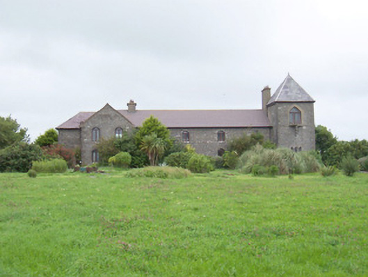 The Old Coastguard Stationcoastguard station · 1.1 mi
 CulleenamoreBeach / strand · 1.3 mi
 Bawn in CarrowbrickeenBawn · 1.3 mi
 Giant's GraveArchaeological place · 1.4 mi
 Strandhill BeachBeach / strand · 1.7 mi
Other information
Photo: Credit not shown in the picture search · Rights wording not checked; contact us if this picture should be removed