What is recorded here
At least one circular hut measured 5.5m across and may have shared its ringfort interior with a second, both lying south of the centre in County Louth. Such a small dwelling suggests a household that cooked, slept and worked inside a defensible earthwork rather than beside it. The precise layout still resists easy description, but the chance of two huts transforms the place from a lone shelter into a cramped domestic core where several people likely lived, argued and endured the weather together.
At least one hut site (LH005-020002-) (diam. 5.5m) and possibly a second (LH005-020003-) to S of centre of the interior of ringfort (LH005-020001-).
Compiled by: Claire Breen
Date of upload: 18 November 2011
The monument record does not grant public access. Check the route and ask the landowner before entering private land.
- What survives
- Recorded monument
Places near here
 Holy well in Liberties OF CarlingfordHoly well · 599 yd
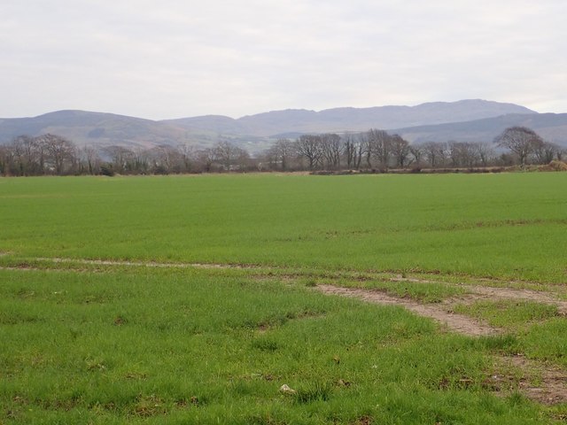 Slieve Foye North-West TopMountain / peak · 1393 yd
 Carlingford - Slieve Foye LoopWalking route · 1477 yd
 The Eagles RockMountain / peak · 1658 yd
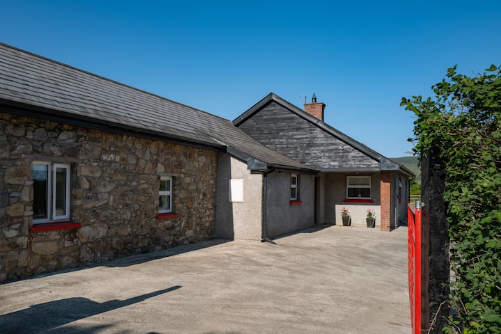 Hut site in BallyonanHut site · 1.0 mi
 Carlingford LoughSea lough and mountain landscape · 1.1 mi
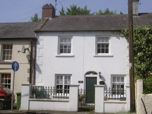 Kendal Cottagehouse · 1.3 mi
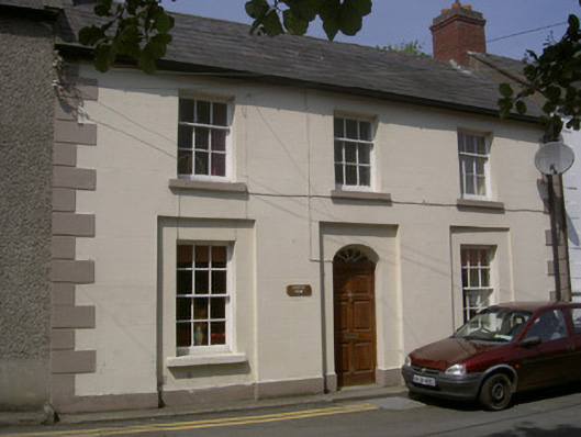 Castle Viewhouse · 1.3 mi
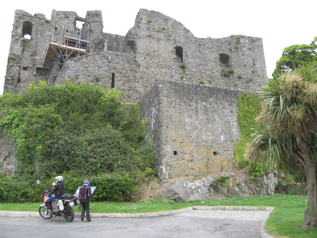 King Johns Castle in ruinsCastle, Anglo-Norman masonry castle · 1.3 mi
 Carlingford CastleHeritage attraction · 1.3 mi
 CastleCastle, tower house · 1.4 mi
 Carlingford Ogham StoneMemorial · 1.6 mi