What is recorded here
A group of four hut sites (SL005-033002-, SL005-033003-, SL005-033005-, SL005-033006-) can be distinguished in the N portion of the area. The hut sites are located to the N of a curving relict field boundary in a semi-circular area (area c. 2 acres) of low rocky pasture at the base of the hillock that lies to the E. The hut sites are clearly in a group and enclosed within the semi-circular area distinct from the remainder of the area. The ground here is rocky, undulates irregularly with a slight W-facing slope. Views are excellent inland SW - W, excellent toward the sea W - N and poor to higher ground N - SW.
This hut site is located c. 20m to the E of hut site SL005-03301- and c. 20m to the NW of SL005-03305-. It consists of a rectangular area (4.55m E-W; 1.65m N-S) defined by an earth and stone bank (Wth 1.7m; H 0.3m). The bank encloses the site W - NE and SE - SW and is absent elsewhere. The original entrance is not recognisable. The interior is undulates gently, sloping slightly facing N and is clear of overgrowth. The area around the hut undulates irregularly possibly indicating other structures/features.
Compiled by: Mark Keegan, Paul Walsh
Date of upload: 11 June 2013
The monument record does not grant public access. Check the route and ask the landowner before entering private land.
- What survives
- Recorded monument
Places near here
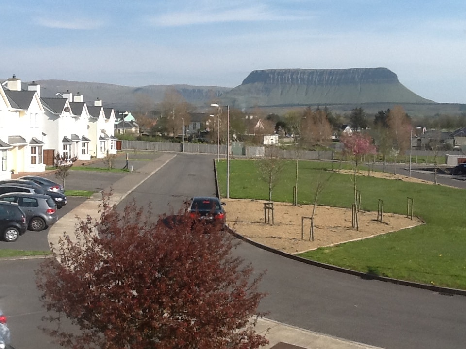 CashelmoreFairy fort / stone ringfort · 220 yd
 IndicatedHoly well · 230 yd
 CastleCastle, unclassified · 502 yd
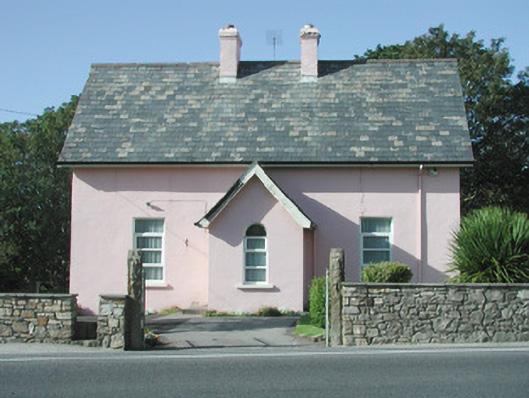 Saint Molaise'spresbytery/parochial/curate's house · 518 yd
 Catholic Church of Mary Immaculatechurch/chapel · 526 yd
 InishnagorIslet · 886 yd
 Atlantic SheepdogsHeritage attraction · 1591 yd
 Connors IslandIsland · 1.3 mi
 Streedagh BeachVisitor information · 1.4 mi
 de Cuellar Armada MonumentMemorial · 1.5 mi
 BenbulbinMountain / peak · 3.1 mi
 Upperglen WoodForest · 3.1 mi