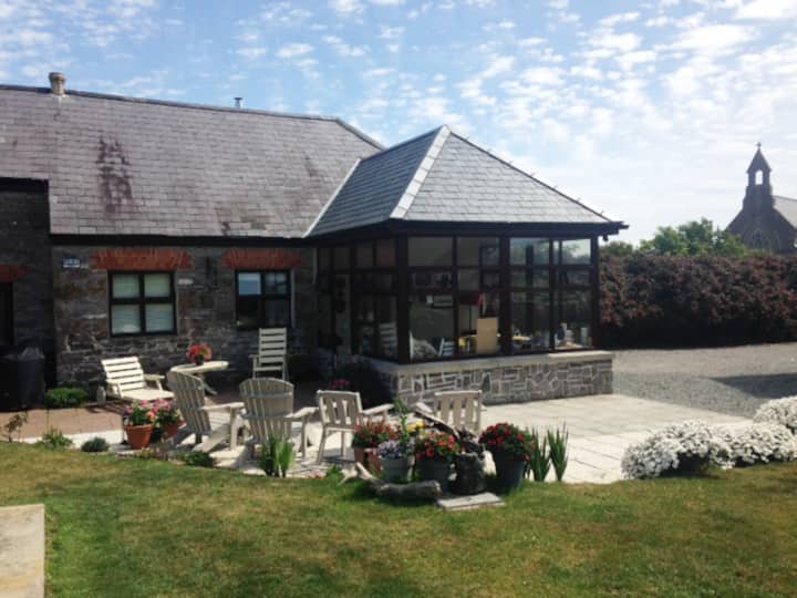
What is recorded here
Excavated (E4200) by D. Gallagher as part of Drumgold 1 in advance of the M11 Gorey to Enniscorthy road scheme. There is a hut-site (Structure 2) 7m NW of the hut-site (WX026-080002-) and separated from it by the E-W palisade trenches of the rectangular enclosure (WX026-080001-), which means this hut-site may be outside enclosure. This structure (int. diam. c. 6.25m NW-SE) is defined by a slot-trench (Wth 0.14-0.47m; D 0.06-0.27m) with post-holes on its line. It has an entrance (Wth c. 1m) at E, marked by two post-holes. There are two large pits (dims 1.01m x 0.78m; D 0.33m: 1.8m x 0.5m plus; D 1m) in the interior. A large quantity of flint and prehistoric pottery was recovered from the site. (Hardy and Rajic 2012, 13-6, fig. 7; Gallagher 2013)
Compiled by: Michael Moore
Date of upload: 29 November, 2013
The monument record does not grant public access. Check the route and ask the landowner before entering private land.
- What survives
- Recorded monument
Places near here
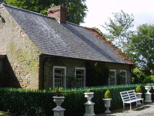 Ballycourcy Housegate lodge · 786 yd
 Hearth in CooladineHearth · 834 yd
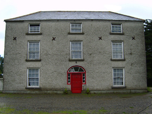 Cooladine Housefarm house · 849 yd
 Structure in CooladineStructure · 1036 yd
 Vinegar HillMountain / peak · 1.1 mi
 Battle of Vinegar Hill, 1798Monument · 1.1 mi
 National 1798 CentreMuseum · 1.6 mi
 Battle of Vinegar HillMajor battlefield · 1.7 mi
 U.N. Peace MemorialMonument · 1.8 mi
 Duffry GateMemorial · 1.9 mi
 CastleCastle, ringwork · 2.6 mi
 Daphney CastleCastle, unclassified · 3.0 mi
Other information
Photo: Credit not shown in the picture search · Rights wording not checked; contact us if this picture should be removed