What is recorded here
Identified in centre-line testing (E4110) in advance of the M11 Gorey to Enniscorthy road scheme, and set aside for resolution as a part of Dunsinane 3 (Hardy et al. 2010, 130-1). It is located on a slight rise at the base of a low hill, the summit of which is c. 500m to the W and overlooking a slight dip just to the E with equally high ground c. 300m to the SE. It was excavated (E4325) by D. Gallagher when a well preserved Neolithic house (WX019-039001-) came to light together with evidence suggestive of a second Neolithic house. At a later period metal-working (WX019-039003-) was conducted in the vicinity.
This is a rectangular area (int. dims c. 10m NW-SE; c. 7m NE-SW) defined by an uncertain line of post and stake-holes at SW and a double-line of post-holes or pits at SE, including a possible slot-trench (L 1.45m) with flanking post-holes for a threshold. The NE side is formed by four aligned pits, and two conjoined pits between these and the SW wall could be interpreted as central roof-supports. The NW side is completely open, but a large quantity of prehistoric pottery, much of it probably from Early Neolithic carinated bowls, and some struck flint was recovered from this area. The Neolithic house (WX019-039001-) is c. 4m to the S, and the unrelated iron-working pits (WX019-039003-)are c. 26m to the SW. The hearth and pits (WX019-038----) are c. 150m to the N, while the Bronze Age houses (WX019-060001-; WX019-060002-) are c. 120-150m to the S, but these features might be wholly unconnected to this site. (Gallagher et al. 2012, 26-9)
Compiled by: Michael Moore
Date of upload: 28 November, 2013
The monument record does not grant public access. Check the route and ask the landowner before entering private land.
- What survives
- Recorded monument
Places near here
 Hut site in DunsinaneHut site · 145 yd
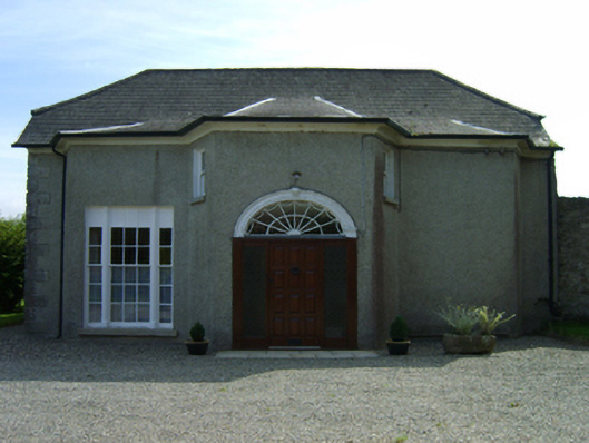 Dunsinane Housefarm house · 461 yd
 Fulacht fia in TemplescobyFulacht fia · 537 yd
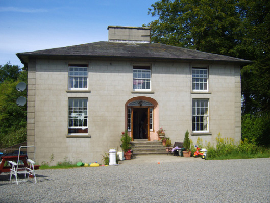 Clohass Housefarm house · 709 yd
 Daphney CastleCastle, unclassified · 1539 yd
 Duffry GateMemorial · 2.1 mi
 U.N. Peace MemorialMonument · 2.2 mi
 Battle of Vinegar HillMajor battlefield · 2.2 mi
 National 1798 CentreMuseum · 2.2 mi
 CastleCastle, ringwork · 2.5 mi
 Killoughrum ForestForest · 2.5 mi
 Pedunculate OakPedunculate Oak · 5.1 mi