
What is recorded here
Identified in centre-line testing (E4110) in advance of the M11 Gorey to Enniscorthy road scheme and set aside for resolution as the N part of Dunsinane 2 (Hardy et al. 2010, 127-9). It is situated in a slight col between a low rise to the E and a hill c. 700m to the NW. Dunsinane 2 was completely excavated (E4170) when two concentrations of post and stake-holes from two structures were recorded.
The north structure is a semi-circular arc (C c. 9m SW-NW-NE) defined by 26 stake-holes with other stake and post-holes occupying the interior. Nine post-holes could complete the perimeter NE-SE-SW, with a possible entrance at SE marked by larger post-holes. Hut-site (WX025-060002-) is c. 35m to the SSE and the Neolithic houses (WX019-039001-; WX019-039002-) are c. 125m to the NNE. (Hardy and Rajic 2012; Gallagher 2013, 242)
Compiled by: Michael Moore
Date of upload: 29 November, 2013
The monument record does not grant public access. Check the route and ask the landowner before entering private land.
- What survives
- Recorded monument
Places near here
 Fulacht fia in TemplescobyFulacht fia · 396 yd
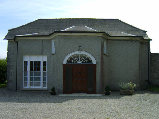 Dunsinane Housefarm house · 474 yd
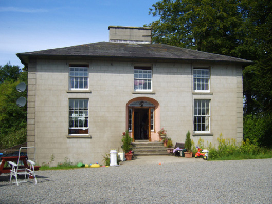 Clohass Housefarm house · 624 yd
 Ecclesiastical enclosure in TemplescobyEcclesiastical enclosure · 957 yd
 Daphney CastleCastle, unclassified · 1612 yd
 Duffry GateMemorial · 2.2 mi
 U.N. Peace MemorialMonument · 2.2 mi
 National 1798 CentreMuseum · 2.3 mi
 Battle of Vinegar HillMajor battlefield · 2.3 mi
 CastleCastle, ringwork · 2.4 mi
 Killoughrum ForestForest · 2.5 mi
 Pedunculate OakPedunculate Oak · 5.2 mi
Other information
Photo: Credit not shown in the picture search · Rights wording not checked; contact us if this picture should be removed