
What is recorded here
Identified in centre-line testing (E4110) in advance of the M11 Gorey to Enniscorthy road scheme and set aside for resolution as Templescoby 2 (Hardy et al. 2010, 132-3). It is situated on a slight E-facing slope and was completely excavated (E4199) by D. Gallagher when a rectangular trough (dims 2.13m E-W; 1,58m N-S; D 0.34m) with clusters of stake-holes in the corners, suggesting a wood-lining, was recorded. Twenty one other stake-holes were immediately to the E, but a large pit (dims 4.5m NW-SE; 2.45-2.7m NE-SW; D 0.68m) was just to the W, and 2 smaller pits (dims 0.5m x 0.42m; D 0.11m: 2.4m x 1.2m; D 0.19m) were in the vicinity. All were filled with material from the burnt stone mound (dims 16m N-S; 10.2m E-W; D 0.1-0.2m), which was partly covered with re-deposited natural at the SW. An oval pit (dims 1.7m E-W; 0.86m N-S; D 0.12m) was 6m S of the trough and outside the spread of the burnt mound. A sample from the large pit produced a C14 date of cal. BC 1207-1010. The unrelated charcoal-production pit (WX025-062----) is c. 140m to the N in Dunsinane townland. (McNamara 2012; Gallagher 2013)
Compiled by: Michaeal Moore
Date of upload: 29 November, 2013
The monument record does not grant public access. Check the route and ask the landowner before entering private land.
- What survives
- Recorded monument
Places near here
 Hut site in DunsinaneHut site · 396 yd
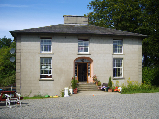 Clohass Housefarm house · 438 yd
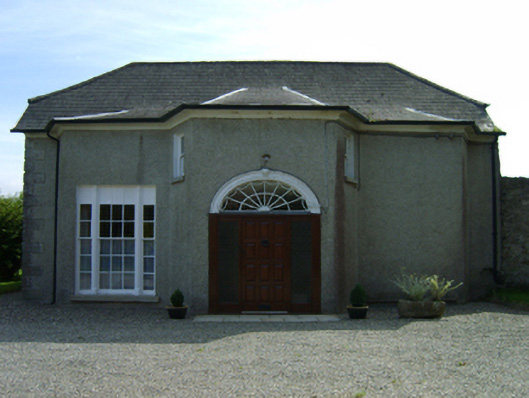 Dunsinane Housefarm house · 611 yd
 Ecclesiastical enclosure in TemplescobyEcclesiastical enclosure · 835 yd
 Daphney CastleCastle, unclassified · 1.0 mi
 Duffry GateMemorial · 2.2 mi
 CastleCastle, ringwork · 2.3 mi
 National 1798 CentreMuseum · 2.3 mi
 U.N. Peace MemorialMonument · 2.3 mi
 Battle of Vinegar HillMajor battlefield · 2.3 mi
 Killoughrum ForestForest · 2.6 mi
 Pedunculate OakPedunculate Oak · 5.4 mi
Other information
Photo: Credit not shown in the picture search · Rights wording not checked; contact us if this picture should be removed