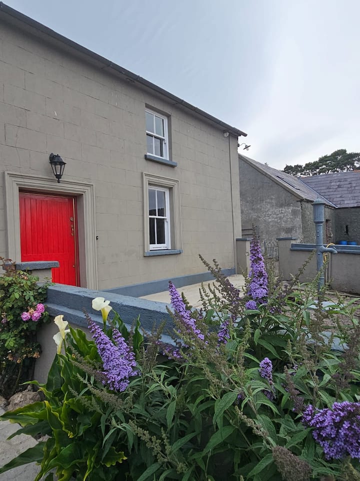
What is recorded here
Situated in pasture on a gentle W-facing slope with a N-S stream c. 240m to the W. The remains of a house in a small section of its wall, possibly of 18th or 19th century date, was recovered in a test excavation (01E0297) by D. Pollock (2002).
Compiled by: Michael Moore.
Date of upload: 10th May, 2011.
The monument record does not grant public access. Check the route and ask the landowner before entering private land.
- What survives
- Recorded monument
Places near here
 Monastery (in ruins)Church · 81 yd
 Toberkilleagh WellHoly well · 723 yd
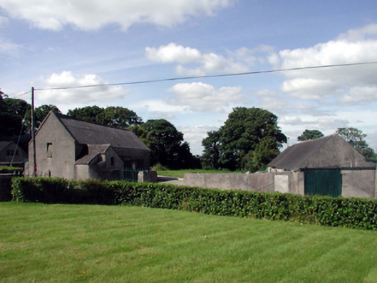 farmyard complexfarmyard complex · 1271 yd
 Stradbally Geological SundialHeritage attraction · 1599 yd
 StradballySettlement cluster · 1625 yd
 Stradbally CoveBeach / strand · 1.2 mi
 Castle (in ruins)Castle, unclassified · 1.4 mi
 Ballydowane CoveBeach / strand · 1.7 mi
 Mandevilles RockCastle, unclassified · 2.8 mi
 Trá na mBóVisitor information · 2.9 mi
 Bunmahon Miners' CottagesVisitor information · 3.2 mi
 Bunmahon StrandBeach / strand · 3.2 mi
Other information
Photo: Credit not shown in the picture search · Rights wording not checked; contact us if this picture should be removed