
What is recorded here
Situated in pasture on a gentle W-facing slope with a N-S stream c. 240m to the W. It is described as the remains of a large building '150ft by 90ft' (dims. c. 45.7m x 27.4m) traditionally thought to be the site of a monastery of the Knights Templar (Smith 1746, 73; Ryland 1824, 301-2). It is not visible at ground level, but there are some fragments of earthen field banks visible.
The above description is derived from the published 'Archaeological Inventory of County Waterford' (Dublin: Stationery Office, 1999). In certain instances the entries have been revised and updated in the light of recent research.
Compiled by: Michael Moore.
Date of upload/revision: 10th May, 2011.
The monument record does not grant public access. Check the route and ask the landowner before entering private land.
- What survives
- Recorded monument
Places near here
 Toberkilleagh WellHoly well · 643 yd
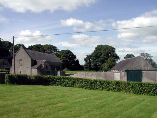 farmyard complexfarmyard complex · 1193 yd
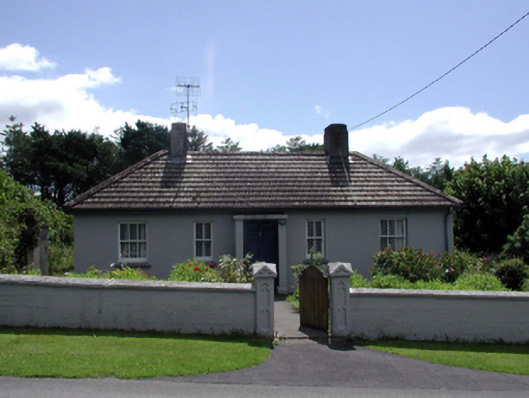 Saint Jude'shouse · 1430 yd
 Stradbally Geological SundialHeritage attraction · 1525 yd
 StradballySettlement cluster · 1549 yd
 Stradbally CoveBeach / strand · 1.2 mi
 Castle (in ruins)Castle, unclassified · 1.4 mi
 Ballydowane CoveBeach / strand · 1.7 mi
 Mandevilles RockCastle, unclassified · 2.9 mi
 Trá na mBóVisitor information · 2.9 mi
 Bunmahon Miners' CottagesVisitor information · 3.2 mi
 Grange WellSpring · 3.2 mi
Other information
Photo: Credit not shown in the picture search · Rights wording not checked; contact us if this picture should be removed