What is recorded here
The Down Survey (1655-6) parish map of Clashacrow depicts a house with a cluster of three other houses (KK013-093002-) on the W side of the Arigna River, almost opposite the medieval church of Clashacrow (KK013-051001-). The proprietor in 1640 is listed as Robert Shee Irish Papist. The precise location of this house within Clashacrow townland is unknown.
See attached extract from Down Survey (1655-6) parish map of Clashacrow (Hib. Reg., courtesy of Trinity College Dublin).
Compiled by: Jean Farrelly
Date of upload: 31 March 2020
The monument record does not grant public access. Check the route and ask the landowner before entering private land.
- What survives
- Recorded monument
Places near here
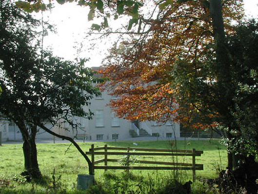 Wellbrook Househouse · 156 yd
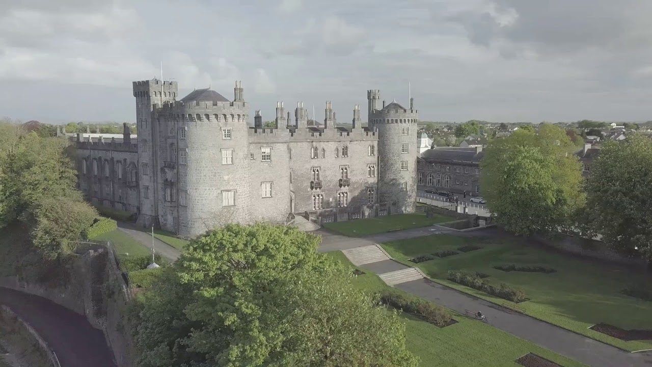 CastleCastle, unclassified · 182 yd
 Enclosure in SartEnclosure · 971 yd
 Enclosure in Clintstown (crannagh By.)Enclosure · 1.0 mi
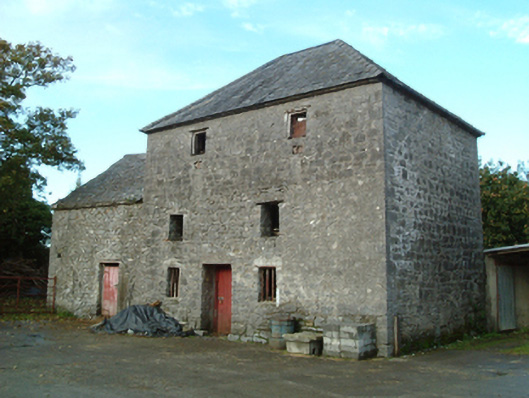 mill (water)mill (water) · 1.1 mi
 Red horse-chestnutRed horse-chestnut · 1.3 mi
 Emma Jane Browne-ClaytonMemorial · 1.4 mi
 Bawn in SartBawn · 1.5 mi
 Freshford LoopWalking route · 1.5 mi
 Brown's WoodWood · 1.5 mi
 Anker's IslandIsland · 6.4 mi
 Paddy ButlerMemorial · 6.6 mi