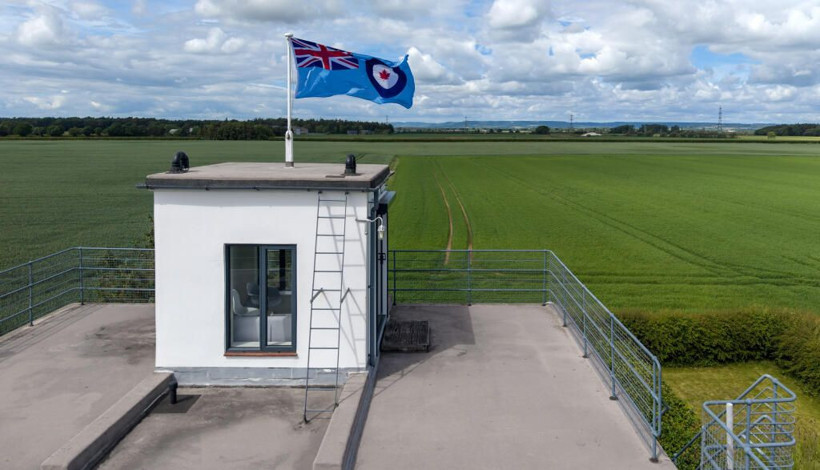
What is recorded here
On the W slopes of the Arigna river valley. There are good N-S views along valley and E to opposite side of valley but limited to the W due to gently rising ground, in pasture. Indicated as a circular enclosure on the 1st (1839) ed. OS 6-inch map with a well on the outer edge of the enclosing bank in the W quadrant. On the 1900 revision the enclosure has been largely incorporated in a field boundary, except the NE quadrant. As on the 1st ed. three field boundaries radiate from the W-SW sector, with two shorter field boundaries running eastward from the N and ESE sectors respectively. On the 25-inch OS map all these field boundaries, apart from one running directly westward from the W quadrant, are depicted as water courses, the northmost course flowing northeastward to join with the Arigna river c. 460m to the NE. On satellite imagery (Digitalglobe, viewed 20 March 2020) the S-SE edge of the monument is still incorporated in a field boundary but the remaining circuit has been levelled, though it is visble as a depression.
Compiled by: Jean Farrelly
Date of upload: 20 March 2020
A local fairy fort (ringfort/rath); wider significance not recorded.
The monument record does not grant public access. Check the route and ask the landowner before entering private land.
- What survives
- Recorded monument
Places near here
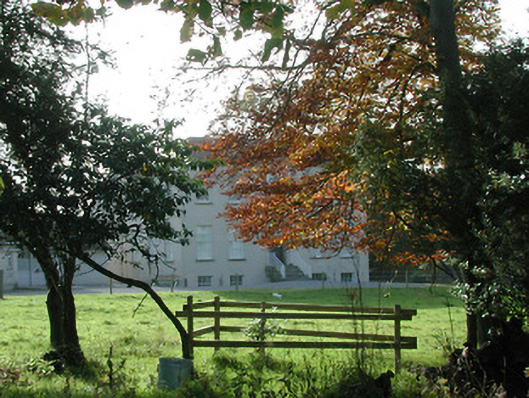 Wellbrook Househouse · 822 yd
 CastleCastle, motte · 1601 yd
 Bawn in SartBawn · 1667 yd
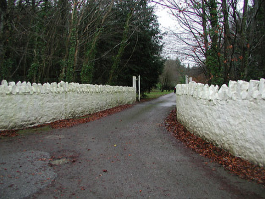 Uppercourt Housegates/railings/walls · 1.1 mi
 Enclosure in Ballydowel BigEnclosure · 1.2 mi
 Brown's WoodWood · 1.2 mi
 ToberlaghteenHoly well · 1.3 mi
 Freshford LoopWalking route · 1.4 mi
 Red horse-chestnutRed horse-chestnut · 1.4 mi
 Emma Jane Browne-ClaytonMemorial · 1.5 mi
 Graveyard in ThreecastlesGraveyard · 2.5 mi
 Anker's IslandIsland · 6.9 mi
Other information
Photo: Credit not shown in the picture search · Rights wording not checked; contact us if this picture should be removed