
What is recorded here
In the Nuenna river valley well above the flood plain of river which flows c. 260m to S, in flat reclaimed grassland. There is a ring-ditch (KK013-027002-) c. 70m to the SSE and an enclosure (KK013-027003-) c. 140m to the S, also identified as cropmarks. A roughly circular enclosure (max. diam. c. 35m) showing as a cropmark on an aerial photograph (CUCAP BGG087, 16 July 1971). It is not visible at ground level.
See attached photograph:
KK013-027001-_01 CUCAP BGG087, 16 July 1971
Compiled by: Jean Farrelly
Date of upload: 30 July 2019
The monument record does not grant public access. Check the route and ask the landowner before entering private land.
- What survives
- Recorded monument
Places near here
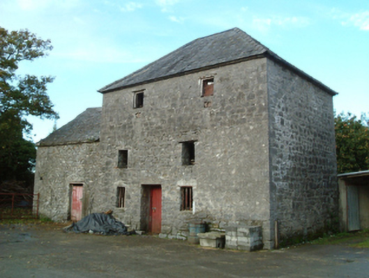 mill (water)mill (water) · 305 yd
 ToberlaghteenHoly well · 366 yd
 Freshford Fever Hospitalhospital/infirmary · 660 yd
 Font in Freshford LotsFont · 980 yd
 Emma Jane Browne-ClaytonMemorial · 987 yd
 Red horse-chestnutRed horse-chestnut · 990 yd
 CastleCastle, motte · 1011 yd
 Freshford LoopWalking route · 1.1 mi
 Upper CourtCastle, unclassified · 1.1 mi
 The PondsForest · 1.2 mi
 Anker's IslandIsland · 5.6 mi
 DelaneyMemorial · 7.2 mi
Other information
Photo: Credit not shown in the picture search · Rights wording not checked; contact us if this picture should be removed