
What is recorded here
The Down Survey (1655-6) parish map of Freshford depicts a crenelated castle-like building flanked by two lower buildings and enclosed by a large bawn with two angle towers and a third central tower or gatehouse midway along the wall in the foreground. The Down Survey (1655-6) barony map of Crannagh similarly shows a large crenelated building with an enclosing bawn with towers on each of the three angles drawn. The proprietor in 1640 is listed as Robert Shee Irish Papist. According to Gillespie (1973, vol. 25, 42), 'In the year 1500, Bishop Oliver Cantwell built a castle at Uppercourt beside the Episcopal Palace [KK013-022002-]'. In the late 18th/early 19th century Sir William Evans Morres began to build the present-day Uppercourt House (ibid. 44). The square castle, which was beside the Episcopal residence and stood behind the present day stables, was razed to the ground and the stones were used in the building of the house' (ibid.). The castle is not visible at ground level.
Compiled by: Jean Farrelly
Date of revised upload: 30 July 2019
Upper Court was depicted in the Down Survey (1655-6) as a fortified structure with a large bawn, indicating it served as a defensive residence for a local landowner during the turbulent period following the English Civil War. Its architectural features suggest its importance in providing security and symbolizing the owner's status.
The monument record does not grant public access. Check the route and ask the landowner before entering private land.
- What survives
- Recorded monument
Places near here
 Freshford LoopWalking route · 101 yd
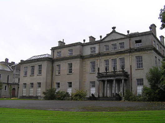 Uppercourt Househouse · 178 yd
 The PondsForest · 437 yd
 CrossCross, Wayside cross · 626 yd
 Upperwood Demesne Ringfort (rath)Archaeological place · 641 yd
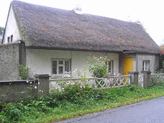 Quigley Cottagehouse · 703 yd
 Brown's WoodWood · 900 yd
 Emma Jane Browne-ClaytonMemorial · 1081 yd
 CastleCastle, motte · 1477 yd
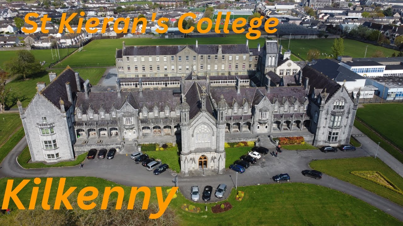 Bawn in SartBawn · 1.4 mi
 Clomantagh HillMountain / peak · 4.3 mi
 DelaneyMemorial · 6.3 mi
Other information
Photo: Credit not shown in the picture search · Rights wording not checked; contact us if this picture should be removed