
What is recorded here
Castle, motte in Moat stands on a steep gravel ridge above the Nuenna river valley in County Kilkenny, Ireland. Its oval top rises about three metres above a narrow fosse and low bank, while the ridge itself drops sharply on three sides. Trees and undergrowth still smother the work, but the shape remains clear: a small made height set where the land already defended it.
On a high steep-sided gravel ridge on the S margins of the Nuenna river valley. There are good views in all directions, especially to N and E. The monument is heavily overgrown with trees and undergrowth. The highest point of the gravel ridge has been modified to form a motte (top diam. c. 15m N-S; c. 12m E-W; H c. 3m). The fairly level top is slightly oval in shape. The base is enclosed by a fosse (Wth 2-3m; D c. 0.5m) and low wide counterscarp bank (Wth c. 2m; ext. H 0.5m). The gravel ridge slopes down very steeply to the N, S and W forming an excellent natural defense. It slopes more gradually on the SE side along the top of the ridge.
Compiled by: Jean Farrelly
Date of upload: 30 July 2019
The monument record does not grant public access. Check the route and ask the landowner before entering private land.
- What survives
- Recorded monument
Places near here
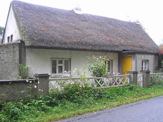 Quigley Cottagehouse · 586 yd
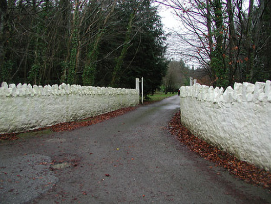 Uppercourt Housegates/railings/walls · 657 yd
 ToberlaghteenHoly well · 751 yd
 Font in Freshford LotsFont · 817 yd
 Red horse-chestnutRed horse-chestnut · 944 yd
 Emma Jane Browne-ClaytonMemorial · 986 yd
 Freshford LoopWalking route · 1235 yd
 Upper CourtCastle, unclassified · 1273 yd
 Brown's WoodWood · 1616 yd
 Bawn in SartBawn · 1.4 mi
 Clomantagh HillMountain / peak · 5.0 mi
 Anker's IslandIsland · 6.2 mi
Other information
Photo: Credit not shown in the picture search · Rights wording not checked; contact us if this picture should be removed