What is recorded here
Indicated is a ruined cashel on a north-facing slope above the Glashagoruv River, where a twenty-two-metre drystone arc still marks the edge of an eighteen-metre circle. The interior slopes downward toward the water, level with the wall top, while loose stones scatter across the tree-covered downslope. Land reclamation stripped away parts of the structure, yet the remaining curve holds its shape against the pasture. It is not a complete fort but a broken line drawn in stone, waiting for someone to imagine what it enclosed.
In rough pasture, on a N-facing slope, overlooking the Glashagoruv River to the N. Indicated as an embanked circular enclosure (diam. c. 18m) on the 1846 OS 6-inch map and on the 1895 OS 6-inch map the enclosing element survives SSE-NE incorporated into the field boundary system. The remains comprise an arc of rough drystone wall (L 22m; T 1.2m; ext. H 1.5m) NW-NE. The interior, which slopes down to the N, is on the same level as the top of the drystone wall. Loose stones from the outer flank of the wall are scattered on the tree-covered downslope. The cashel has been damaged and some of it levelled during land reclamation.
The above description is derived from the published 'Archaeological Inventory of County Kerry. Volume I: South-West Kerry' (Dublin: Stationery Office, 2009). In certain instances the entries have been revised and updated in the light of recent research.
Date of upload: 30 May 2011
The monument record does not grant public access. Check the route and ask the landowner before entering private land.
- What survives
- Recorded monument
Places near here
 CaveMan-made underground passage · 818 yd
 Bird HillMountain / peak · 1237 yd
 Field system in Gurteen (glanarought By.)Field system · 1567 yd
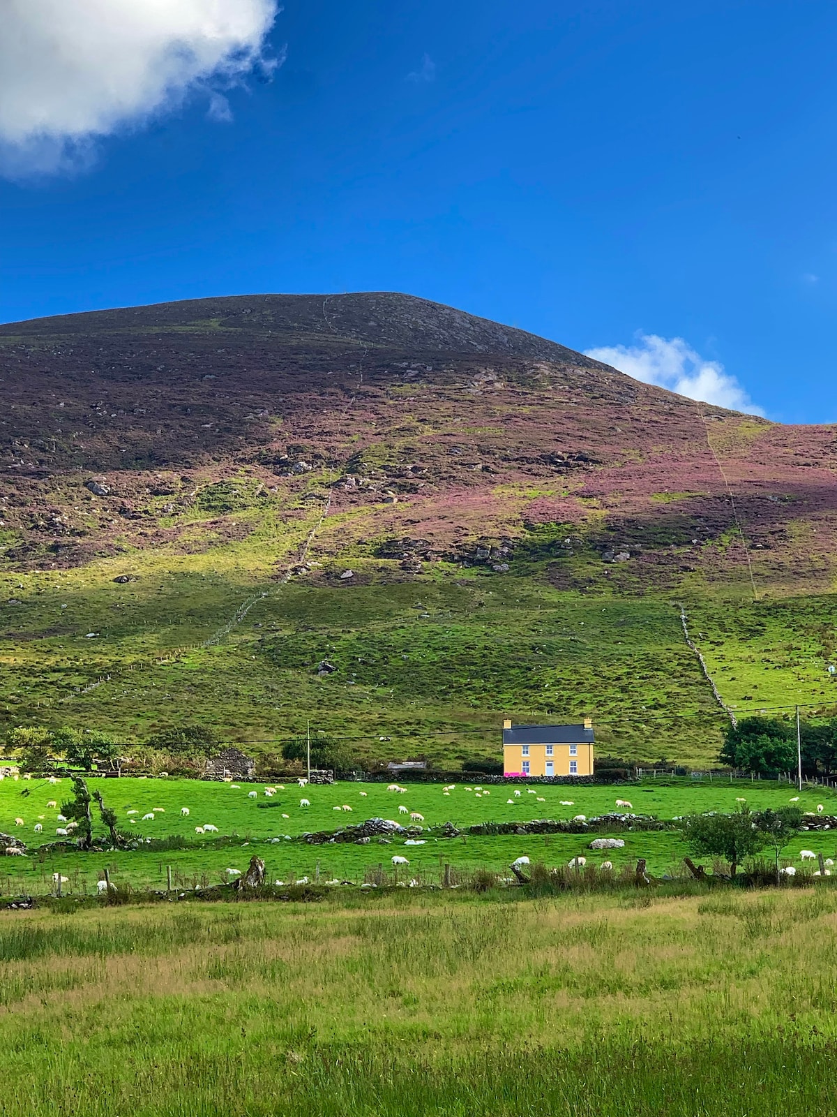 Gullaba HillMountain / peak · 1601 yd
 Kilgarvan Motor MuseumMuseum · 1.2 mi
 Battle of Callannbattle · 1.3 mi
 Bridge in Inchimore (glanarought By., Kenmare Ed)Bridge · 2.0 mi
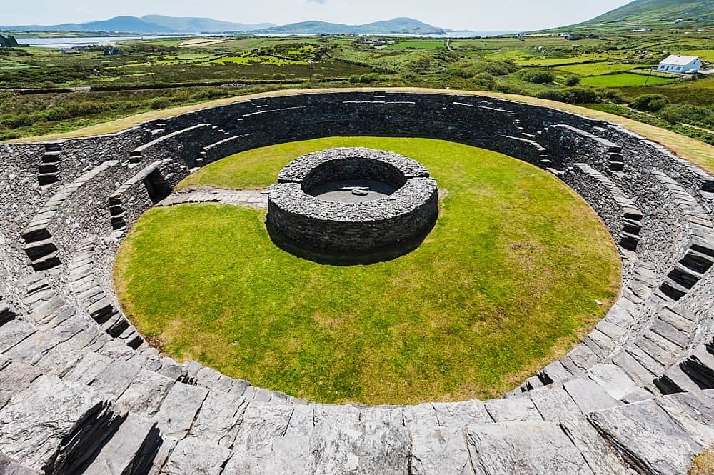 Cahergal Br.Bridge · 2.1 mi
 Great Southern & Western RailwayMemorial · 2.3 mi
 Castle (Site of)Castle, unclassified · 2.5 mi
 European YewEuropean Yew · 2.5 mi
 CaoinkeenCliff · 3.0 mi