What is recorded here
In a levelled rath (KE094-023----). According to local information, the entrance to an underground passage or tunnel, which extended in a NE direction, was closed up. The NE direction of the passage suggests that it is underneath the S half of the rath. There are no visible remains of this possible Man-made underground passage and the area is densely covered with overgrowth. Volume I: South-West Kerry' (Dublin: Stationery Office, 2009).
From the National Monuments Service (Archaeological Survey of Ireland) record KE094-023001
This remains an important historical record, but the official description says the monument is no longer visible or has been destroyed. The monument record does not grant public access. Check the route and ask the landowner before entering private land.
- What survives
- No visible remains or recorded as destroyed
Places near here
Photo credits
- Graham Horn, Geograph · CC BY-SA 2.0
- Mike Searle, Wikimedia Commons · CC BY-SA 2.0
- National Inventory of Architectural Heritage
- Sitomon, Wikimedia Commons · CC BY-SA 2.0
- Colin Park, Geograph · CC BY-SA 2.0
- P L Chadwick, Geograph · CC BY-SA 2.0
- P L Chadwick, Wikimedia Commons · CC BY-SA 2.0
- Willow, Wikimedia Commons · CC BY 2.5
 Bird HillMountain / peak · 1613 yd
 Battle of CallannBattle · 1657 ydBattle of CallannBattlefield · 1666 ydField system in Gurteen (glanarought By.)Field system · 1.2 miSheepfoldEnclosure · 1.3 mi
 Church (in Ruins)Church · 1.9 mi
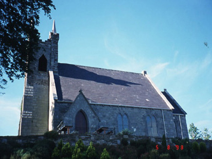 Michael J. Quill CentreChurch/chapel · 2.2 mi
 European Yew2.4 mi
 KnocknamanaghMountain / peak · 2.9 mi
 Bonane Heritage ParkMuseum · 4.7 mi
,_near_Kenmare,_Co._Kerry_(geograph_5908221).jpg/250px-Bonane_Heritage_Park_-_reconstructed_crannog_(2),_near_Kenmare,_Co._Kerry_(geograph_5908221).jpg "Photo: P L Chadwick, Wikimedia Commons · CC BY-SA 2.0") CrannogHeritage attraction · 4.9 mi
CrannogHeritage attraction · 4.9 mi European ash5.4 mi
More archaeology and monuments in County Kerry · All of County Kerry
What do you know about this place?