
What is recorded here
In pasture, on a S-facing slope of Knockbrack Mountain, overlooking the Glashagoruv River to the S. A relict field system, covering an area c. 150m E-W x c. 100m N-S, lies directly N of the road to Coomclogherane and S of an E-flowing stream. Stone walls protrude (H c. 0.4m) through the peat mantle and disappear in deeper bog. Upright stones (H 0.75m), set at right angles to the line of the wall, were noted along some stretches of the walls. Three relict field walls extend from an E-W curvilinear wall, just S of the stream. A linear wall (L 145m) extends S from the W end of the E-W wall and terminates at the road. Further E a curvilinear wall (L 80m) runs SW from the E-W wall, crossing the linear wall to the N of centre and continues in a W direction for 36m. This wall then veers S for 35m to the road, just to the W of the linear wall. Another curvilinear wall (L 115m) extends from the E end of the E-W wall, runs in SW direction and terminates at the linear wall to the S of the centre. This system of field boundaries encloses three possible fields.
The above description is derived from the published 'Archaeological Inventory of County Kerry. Volume I: South-West Kerry' (Dublin: Stationery Office, 2009). In certain instances the entries have been revised and updated in the light of recent research.
Date of upload: 30 May 2011
The monument record does not grant public access. Check the route and ask the landowner before entering private land.
- What survives
- Recorded monument
Places near here
 SheepfoldEnclosure · 848 yd
 KnockbrackMountain / peak · 1144 yd
 Knockbrack South TopMountain / peak · 1664 yd
 Sheep FoldEnclosure · 1719 yd
 Battle of Callannbattle · 1.6 mi
 Kilgarvan Motor MuseumMuseum · 1.7 mi
 OutlinedKiln, lime · 1.8 mi
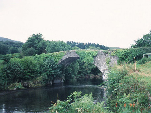 Ardtully Old Bridgebridge · 2.2 mi
 Castle (Site of)Castle, unclassified · 2.2 mi
 European YewEuropean Yew · 2.2 mi
 Great Southern & Western RailwayMemorial · 2.5 mi
 CaoinkeenCliff · 3.2 mi
Other information
Photo: Credit not shown in the picture search · Rights wording not checked; contact us if this picture should be removed